Kutiatodu night lights from space
Night Light of Kutiatodu (Kerala) from space (India) Src. Average luminocity for 10x10km area is 2.6061% and for 50x50km: 11.8728%.
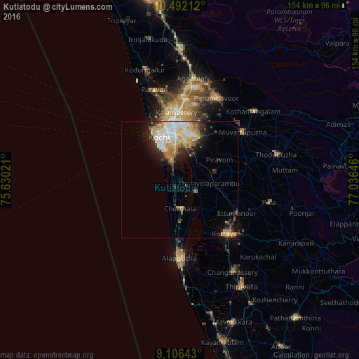
Analysis of Kutiatodu night lights 2016
Square area 10x10 km:
100  0%
0%
90-99 0%
80-89 0%
70-79 0%
60-69 0%
50-59 0.22%
40-49 0.65%
30-39 2.81%
20-29 1.08%
10-19 1.73%
0-9 93.51%
0%90-99
0%80-89
0%70-79
0%60-69
0%50-59
0.22%40-49
0.65%30-39
2.81%20-29
1.08%10-19
1.73%0-9
93.51%Square area 50x50 km:
100 2.13%
90-99 2.59%
80-89 1.53%
70-79 1.98%
60-69 1.62%
50-59 1.22%
40-49 1.01%
30-39 1.71%
20-29 2.5%
10-19 4.28%
0-9 79.42%
2.13%90-99
2.59%80-89
1.53%70-79
1.98%60-69
1.62%50-59
1.22%40-49
1.01%30-39
1.71%20-29
2.5%10-19
4.28%0-9
79.42%Clear (daylight) street map image can be seen on geolist.org.
Map coordinates:
10° 29' 31.6" North, 75° 37' 48.8" East
9° 48' 0" North, 76° 19' 60" East
9° 6' 23.1" North, 77° 2' 11.3" East
Some cities around Kutiatodu sort by population:
• Cochin
17.5 km =10.9 mi,  332°
332°
• Cherthala
12.9 km =8 mi,  178°
178°
• Shertallai
12.7 km =7.9 mi, 176°
• Aroor
8.3 km =5.2 mi,  338°
338°
• Vayalār
9.9 km =6.2 mi, 176°
• Kumbalam
12.1 km =7.5 mi,  348°
348°
• Vaikam
9 km =5.6 mi,  129°
129°
• Arukutti
7.6 km =4.7 mi,  13°
13°
1265418 (p: 22,880)
Sources (retrieved 2019-11-25):
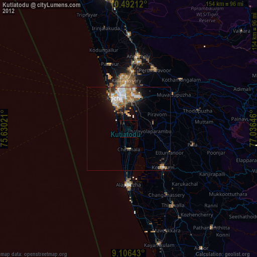
» Earth at Night: Flat Maps 2012, 2016