Vayalār night lights from space
Night Light of Vayalār (Kerala) from space (India) Src. Average luminocity for 10x10km area is 6.5866% and for 50x50km: 5.536%.
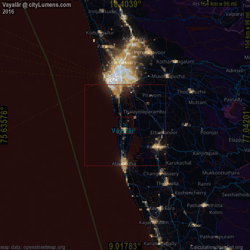
Analysis of Vayalār night lights 2016
Square area 10x10 km:
100  0%
0%
90-99 0%
80-89 0.87%
70-79 0.22%
60-69 3.25%
50-59 1.08%
40-49 1.08%
30-39 1.73%
20-29 2.16%
10-19 2.16%
0-9 87.45%
0%90-99
0%80-89
0.87%70-79
0.22%60-69
3.25%50-59
1.08%40-49
1.08%30-39
1.73%20-29
2.16%10-19
2.16%0-9
87.45%Square area 50x50 km:
100 0.15%
90-99 0.33%
80-89 0.42%
70-79 1.05%
60-69 1.49%
50-59 0.95%
40-49 0.68%
30-39 1.33%
20-29 2.18%
10-19 3.62%
0-9 87.8%
0.15%90-99
0.33%80-89
0.42%70-79
1.05%60-69
1.49%50-59
0.95%40-49
0.68%30-39
1.33%20-29
2.18%10-19
3.62%0-9
87.8%Clear (daylight) street map image can be seen on geolist.org.
Map coordinates:
10° 24' 14" North, 75° 38' 8.7" East
9° 42' 41.7" North, 76° 20' 20" East
9° 1' 4.2" North, 77° 2' 31.2" East
Some cities around Vayalār sort by population:
• Cherthala
3 km =1.9 mi,  186°
186°
• Shertallai
2.9 km =1.8 mi,  177°
177°
• Aroor
17.9 km =11.1 mi,  348°
348°
• Kalavoor
15.7 km =9.8 mi, 184°
• Kumbalam
21.9 km =13.6 mi, 352°
• Kutiatodu
9.9 km =6.2 mi,  356°
356°
• Vaikam
7.5 km =4.7 mi,  56°
56°
• Arukutti
17.3 km =10.7 mi,  4°
4°
1253340 (p: 25,094)
Sources (retrieved 2019-11-25):
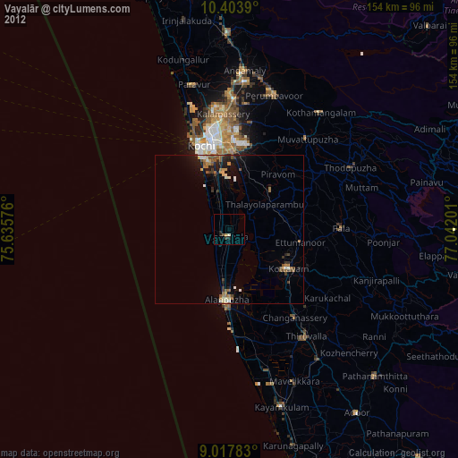
» Earth at Night: Flat Maps 2012, 2016