Ambikāpur night lights from space
Night Light of Ambikāpur (Chhattisgarh) from space (India) Src. Average luminocity for 10x10km area is 60.5133% and for 50x50km: 8.0093%.
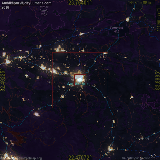
Analysis of Ambikāpur night lights 2016
Square area 10x10 km:
 17.05%
90-99
19.13%80-89
3.79%70-79
5.68%60-69
3.03%50-59
4.36%40-49
8.14%30-39
10.42%20-29
16.48%10-19
10.8%0-9
1.14%Square area 50x50 km:
0.99%90-99
1.15%80-89
0.4%70-79
0.49%60-69
1%50-59
0.97%40-49
1.55%30-39
1.85%20-29
3.45%10-19
6.67%0-9
81.47%Clear (daylight) street map image can be seen on geolist.org.
Map coordinates:
23° 45' 50.4" North, 82° 29' 32.1" East
23° 7' 8.1" North, 83° 11' 43.3" East
22° 28' 14.6" North, 83° 53' 54.6" East
Some cities around Ambikāpur sort by population:
• Korba
100 km =62.1 mi,  210°
210°
• Pasān
106.5 km =66.2 mi,  253°
253°
• Jashpurnagar
99.9 km =62.1 mi,  104°
104°
• Katghora
95.8 km =59.5 mi,  224°
224°
• Pathalgaon
68.3 km =42.4 mi,  156°
156°
• Baikunthpur
66.8 km =41.5 mi,  283°
283°
• Rāmānuj Ganj
92.1 km =57.2 mi,  33°
33°
• Gharghoda
106.3 km =66.1 mi,  171°
171°
1278827 (p: 72,821)
Sources (retrieved 2019-11-25):
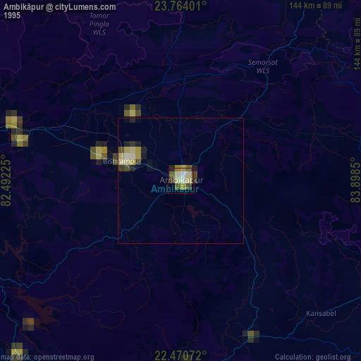
» NASA, Earths city lights 1995
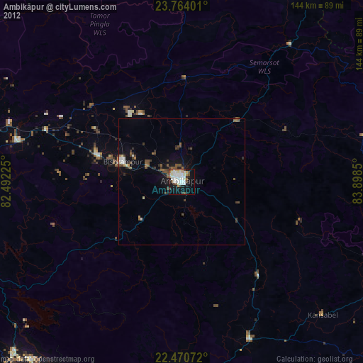
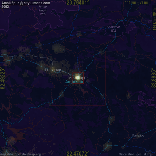
» NASA city lights 2003
» Earth at Night: Flat Maps 2012, 2016