Jasdan night lights from space
Night Light of Jasdan (Gujarat) from space (India) Src. Average luminocity for 10x10km area is 13.9603% and for 50x50km: 4.2962%.
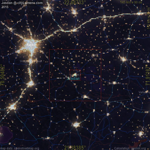
Analysis of Jasdan night lights 2016
Square area 10x10 km:
 0%
0%90-99
1.98%80-89
1.39%70-79
3.77%60-69
1.19%50-59
0.79%40-49
1.59%30-39
4.96%20-29
2.98%10-19
1.98%0-9
79.37%Square area 50x50 km:
0%90-99
0.26%80-89
0.41%70-79
0.36%60-69
0.72%50-59
1.16%40-49
1.2%30-39
1.4%20-29
1.12%10-19
0.81%0-9
92.56%Clear (daylight) street map image can be seen on geolist.org.
Map coordinates:
22° 41' 14.4" North, 70° 30' 17.4" East
22° 2' 13.5" North, 71° 12' 28.6" East
21° 23' 1.9" North, 71° 54' 39.9" East
Some cities around Jasdan sort by population:
• Gondal
42.6 km =26.5 mi,  258°
258°
• Gadhada
38.9 km =24.2 mi,  101°
101°
• Lāthi
39.6 km =24.6 mi,  151°
151°
• Bābra
23.5 km =14.6 mi, 154°
• Chotila
43 km =26.7 mi,  358°
358°
• Shāhpur
47 km =29.2 mi,  286°
286°
• Vinchia
26.1 km =16.2 mi,  42°
42°
• Pāliyād
43.8 km =27.2 mi,  55°
55°
1269179 (p: 43,861)
Sources (retrieved 2019-11-25):
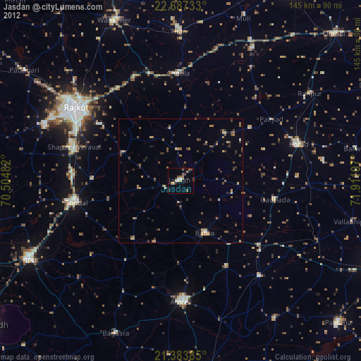
» Earth at Night: Flat Maps 2012, 2016