Lāthi night lights from space
Night Light of Lāthi (Gujarat) from space (India) Src. Average luminocity for 10x10km area is 3.2803% and for 50x50km: 3.945%.
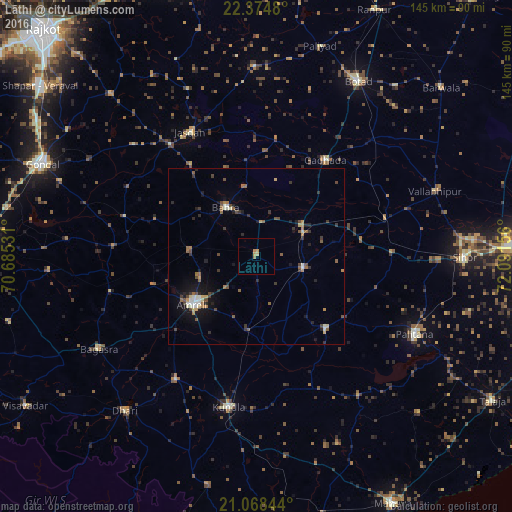
Analysis of Lāthi night lights 2016
Square area 10x10 km:
 0%
0%90-99
0%80-89
0.76%70-79
1.7%60-69
1.33%50-59
0%40-49
0%30-39
0%20-29
0%10-19
0%0-9
96.21%Square area 50x50 km:
0.09%90-99
0.66%80-89
0.3%70-79
0.43%60-69
0.65%50-59
0.73%40-49
0.78%30-39
0.73%20-29
0.88%10-19
2.23%0-9
92.51%Clear (daylight) street map image can be seen on geolist.org.
Map coordinates:
22° 22' 29.3" North, 70° 41' 7.1" East
21° 43' 23.2" North, 71° 23' 18.3" East
21° 4' 6.4" North, 72° 5' 29.6" East
Some cities around Lāthi sort by population:
• Amreli
22.8 km =14.2 mi,  233°
233°
• Kundla
43.2 km =26.8 mi,  191°
191°
• Jasdan
39.6 km =24.6 mi,  331°
331°
• Gariadhar
28.3 km =17.6 mi,  136°
136°
• Gadhada
33.7 km =20.9 mi,  35°
35°
• Bābra
16.1 km =10 mi, 327°
• Dāmnagar
13.8 km =8.6 mi,  104°
104°
• Chalāla
41.6 km =25.8 mi,  213°
213°
1265022 (p: 22,745)
Sources (retrieved 2019-11-25):
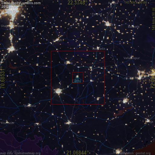
» Earth at Night: Flat Maps 2012, 2016