Gadhada night lights from space
Night Light of Gadhada (Gujarat) from space (India) Src. Average luminocity for 10x10km area is 8.9683% and for 50x50km: 3.7278%.
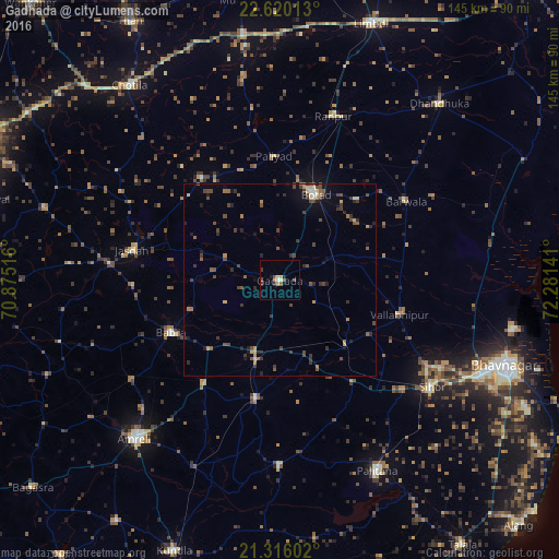
Analysis of Gadhada night lights 2016
Square area 10x10 km:
 0.4%
0.4%90-99
1.19%80-89
1.59%70-79
0.79%60-69
1.19%50-59
1.98%40-49
1.59%30-39
2.38%20-29
0.6%10-19
0.99%0-9
87.3%Square area 50x50 km:
0.06%90-99
0.21%80-89
0.43%70-79
0.35%60-69
0.48%50-59
0.77%40-49
1.22%30-39
1.19%20-29
1.05%10-19
1.02%0-9
93.22%Clear (daylight) street map image can be seen on geolist.org.
Map coordinates:
22° 37' 12.5" North, 70° 52' 30.6" East
21° 58' 10.5" North, 71° 34' 41.8" East
21° 18' 57.7" North, 72° 16' 53.1" East
Some cities around Gadhada sort by population:
• Botād
24 km =14.9 mi,  22°
22°
• Lāthi
33.7 km =20.9 mi,  215°
215°
• Bābra
31.3 km =19.4 mi,  243°
243°
• Valabhīpur
32.3 km =20.1 mi,  106°
106°
• Dāmnagar
31.5 km =19.6 mi,  191°
191°
• Umrāla
27.1 km =16.8 mi,  121°
121°
• Pāliyād
32.1 km =19.9 mi,  356°
356°
• Dhola
22.3 km =13.9 mi, 116°
1271839 (p: 28,611)
Sources (retrieved 2019-11-25):
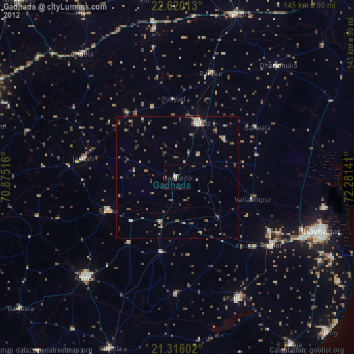
» Earth at Night: Flat Maps 2012, 2016