Jandiāla night lights from space
Night Light of Jandiāla (Punjab) from space (India) Src. Average luminocity for 10x10km area is 11.5403% and for 50x50km: 25.9491%.
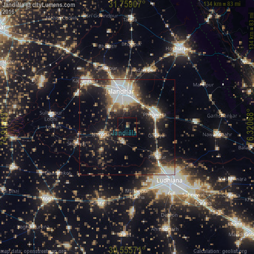
Analysis of Jandiāla night lights 2016
Square area 10x10 km:
 0%
0%90-99
0%80-89
0.73%70-79
0.73%60-69
1.47%50-59
2.93%40-49
2.01%30-39
2.56%20-29
3.11%10-19
10.26%0-9
76.19%Square area 50x50 km:
3.69%90-99
5.79%80-89
2.14%70-79
1.72%60-69
2.55%50-59
3.89%40-49
4.86%30-39
5.09%20-29
8.42%10-19
17.25%0-9
44.59%Clear (daylight) street map image can be seen on geolist.org.
Map coordinates:
31° 45' 32.7" North, 74° 54' 51.9" East
31° 9' 33.5" North, 75° 37' 3.2" East
30° 33' 20.6" North, 76° 19' 14.4" East
Some cities around Jandiāla sort by population:
• Jalandhar
18.8 km =11.7 mi,  348°
348°
• Phagwāra
16.5 km =10.3 mi,  64°
64°
• Nakodar
14.1 km =8.8 mi,  254°
254°
• Phillaur
22.7 km =14.1 mi,  133°
133°
• Adampur
31.7 km =19.7 mi,  16°
16°
• Shāhkot
28.1 km =17.5 mi, 252°
• Nūrmahal
7.3 km =4.5 mi,  197°
197°
• Alāwalpur
30.5 km =19 mi,  6°
6°
1269269 (p: 25,631)
Sources (retrieved 2019-11-25):
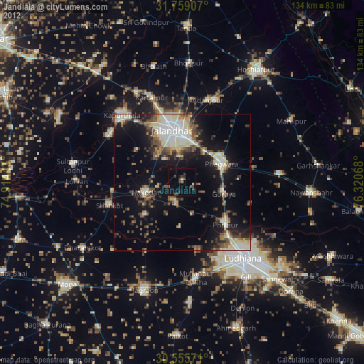
» Earth at Night: Flat Maps 2012, 2016