Jambusar night lights from space
Night Light of Jambusar (Gujarat) from space (India) Src. Average luminocity for 10x10km area is 22.2956% and for 50x50km: 11.6238%.
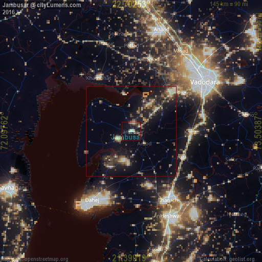
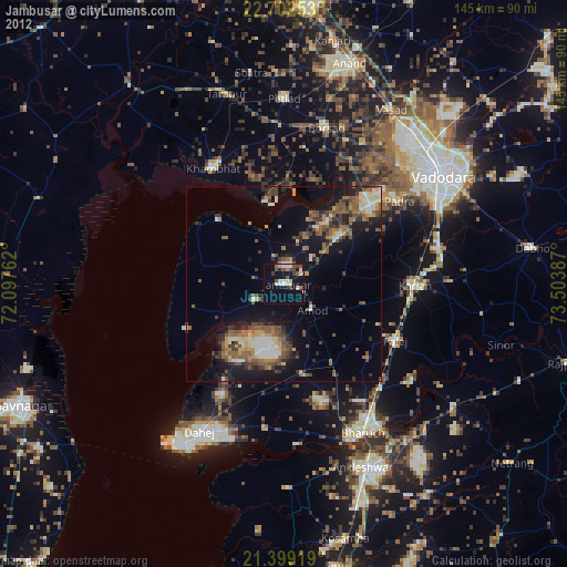
Analysis of Jambusar night lights 2016
Square area 10x10 km:
 0.4%
0.4%90-99
3.57%80-89
4.17%70-79
0.2%60-69
2.58%50-59
3.37%40-49
6.55%30-39
3.77%20-29
4.76%10-19
20.24%0-9
50.4%Square area 50x50 km:
0.16%90-99
1.46%80-89
1.24%70-79
1.23%60-69
1.58%50-59
2.02%40-49
2.58%30-39
2.92%20-29
3.97%10-19
10%0-9
72.84%Clear (daylight) street map image can be seen on geolist.org.
Map coordinates:
22° 42' 9.1" North, 72° 5' 51.4" East
22° 3' 8.5" North, 72° 48' 2.7" East
21° 23' 57.1" North, 73° 30' 13.9" East
Some cities around Jambusar sort by population:
• Vadodara
50.1 km =31.1 mi,  56°
56°
• Bharūch
43.9 km =27.3 mi,  154°
154°
• Khambhāt
34.9 km =21.7 mi,  327°
327°
• Borsad
40.8 km =25.4 mi,  14°
14°
• Petlād
47.2 km =29.3 mi,  359°
359°
• Padra
35.9 km =22.3 mi,  54°
54°
• Amod
9.7 km =6 mi,  132°
132°
• Dhuwaran
21.1 km =13.1 mi,  348°
348°
1269350 (p: 41,594)
Sources (retrieved 2019-11-25):
» Earth at Night: Flat Maps 2012, 2016