Rahim Yar Khan night lights from space
Night Light of Rahim Yar Khan (Punjab) from space (Pakistan) Src. Average luminocity for 10x10km area is 42.373% and for 50x50km: 6.7905%.
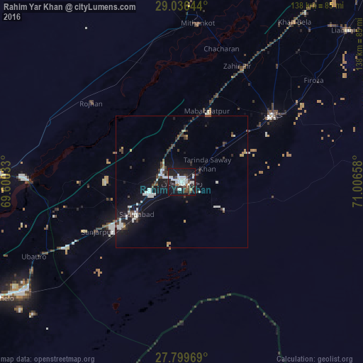
Analysis of Rahim Yar Khan night lights 2016
Square area 10x10 km:
 10.71%
90-99
13.89%80-89
0%70-79
0.2%60-69
2.78%50-59
2.78%40-49
6.55%30-39
6.35%20-29
13.89%10-19
40.48%0-9
2.38%Square area 50x50 km:
1.12%90-99
1.63%80-89
0.18%70-79
0.31%60-69
0.31%50-59
0.29%40-49
1.52%30-39
1.22%20-29
1.3%10-19
7.81%0-9
84.31%Clear (daylight) street map image can be seen on geolist.org.
Map coordinates:
29° 2' 11.2" North, 69° 36' 1.2" East
28° 25' 11.5" North, 70° 18' 12.4" East
27° 47' 58.9" North, 71° 0' 23.7" East
Some cities around Rahim Yar Khan sort by population:
• Saddiqabad
21.2 km =13.2 mi,  234°
234°
• Khanpur
42.8 km =26.6 mi,  53°
53°
• Khairpur
70.8 km =44 mi,  236°
236°
• Zahir Pir
48.7 km =30.3 mi,  26°
26°
• Kashmor
70.4 km =43.7 mi,  271°
271°
• Ubauro
62.8 km =39 mi, 243°
• Kot Samaba
21.8 km =13.5 mi, 47°
• Rojhan
45.3 km =28.1 mi,  311°
311°
1167460 (p: 788,915)
Sources (retrieved 2019-11-25):
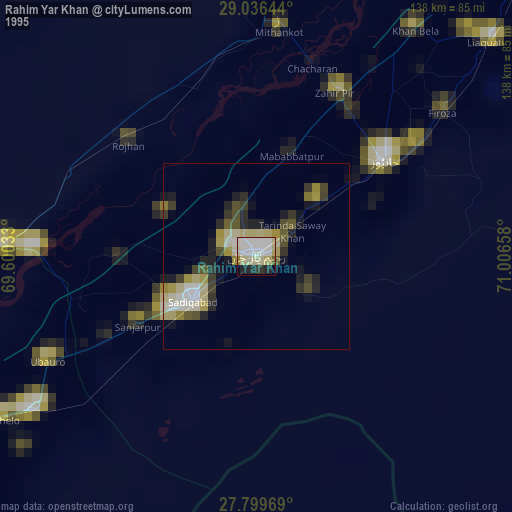
» NASA, Earths city lights 1995
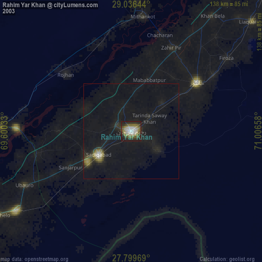
» NASA city lights 2003
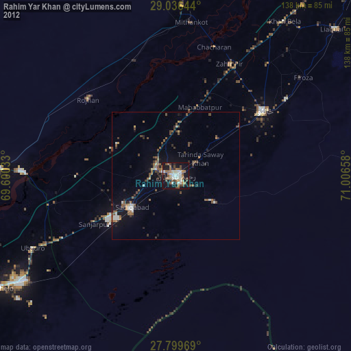
» Earth at Night: Flat Maps 2012, 2016