Lālganj night lights from space
Night Light of Lālganj (Uttar Pradesh) from space (India) Src. Average luminocity for 10x10km area is 24.4867% and for 50x50km: 23.2348%.
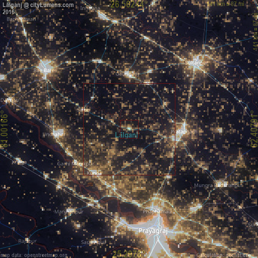
Analysis of Lālganj night lights 2016
Square area 10x10 km:
 0.76%
0.76%90-99
0.76%80-89
0.76%70-79
2.65%60-69
1.89%50-59
7.95%40-49
8.33%30-39
8.52%20-29
8.52%10-19
39.77%0-9
20.08%Square area 50x50 km:
0.31%90-99
0.78%80-89
0.67%70-79
1.74%60-69
3.43%50-59
4.92%40-49
8.23%30-39
9.41%20-29
12.99%10-19
25.91%0-9
31.61%Clear (daylight) street map image can be seen on geolist.org.
Map coordinates:
26° 33' 44.8" North, 81° 0' 6" East
25° 55' 54.6" North, 81° 42' 17.2" East
25° 17' 52.1" North, 82° 24' 28.5" East
Some cities around Lālganj sort by population:
• Bela
29.2 km =18.1 mi,  92°
92°
• Kunda
30.6 km =19 mi,  218°
218°
• Mau Aimma
34.2 km =21.3 mi,  140°
140°
• Salon
27.3 km =17 mi,  293°
293°
• Amethī
27 km =16.8 mi,  21°
21°
• Pratāpgarh
24.1 km =15 mi,  99°
99°
• Parshādepur
26.5 km =16.5 mi,  306°
306°
• Antu
24.2 km =15 mi,  54°
54°
1265169 (p: 23,728)
Sources (retrieved 2019-11-25):
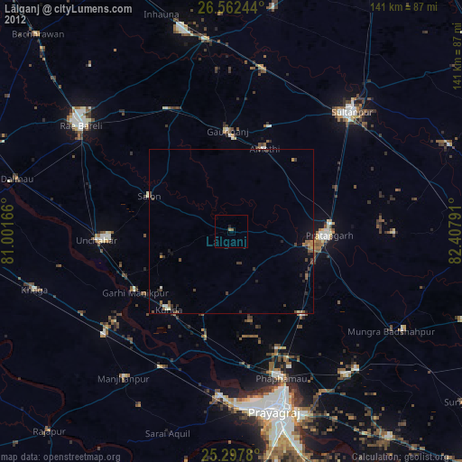
» Earth at Night: Flat Maps 2012, 2016