Fatehābād night lights from space
Night Light of Fatehābād (Uttar Pradesh) from space (India) Src. Average luminocity for 10x10km area is 7.7619% and for 50x50km: 18.9458%.
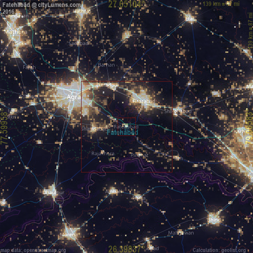
Analysis of Fatehābād night lights 2016
Square area 10x10 km:
 0%
0%90-99
0.79%80-89
1.59%70-79
0%60-69
0.79%50-59
3.17%40-49
0.79%30-39
1.39%20-29
1.19%10-19
2.18%0-9
88.1%Square area 50x50 km:
1.55%90-99
2.65%80-89
2.98%70-79
1.76%60-69
2.41%50-59
2.98%40-49
4.29%30-39
4.4%20-29
6.55%10-19
11.72%0-9
58.72%Clear (daylight) street map image can be seen on geolist.org.
Map coordinates:
27° 39' 3.7" North, 77° 35' 58.5" East
27° 1' 35.2" North, 78° 18' 9.7" East
26° 23' 54.1" North, 79° 0' 21" East
Some cities around Fatehābād sort by population:
• Agra
33.3 km =20.7 mi,  301°
301°
• Fīrozābād
16.7 km =10.4 mi,  34°
34°
• Shikohābād
29.5 km =18.3 mi,  72°
72°
• Tūndla
21.9 km =13.6 mi,  342°
342°
• Shamsābād
17.8 km =11.1 mi,  266°
266°
• Rājākhera
19.3 km =12 mi,  222°
222°
• Itimādpur
25.4 km =15.8 mi, 336°
• Pināhat
17.4 km =10.8 mi,  155°
155°
1271936 (p: 21,957)
Sources (retrieved 2019-11-25):
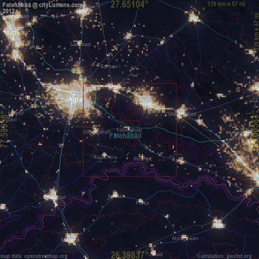
» Earth at Night: Flat Maps 2012, 2016