Ingrāj Bāzār night lights from space
Night Light of Ingrāj Bāzār (West Bengal) from space (India) Src. Average luminocity for 10x10km area is 64.7633% and for 50x50km: 17.0992%.
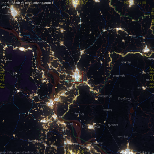
Analysis of Ingrāj Bāzār night lights 2016
Square area 10x10 km:
 17.8%
17.8%90-99
17.05%80-89
6.06%70-79
5.3%60-69
5.68%50-59
8.52%40-49
11.55%30-39
12.5%20-29
14.77%10-19
0.76%0-9
0%Square area 50x50 km:
1.43%90-99
2.08%80-89
1.27%70-79
1.67%60-69
2%50-59
3.23%40-49
4.01%30-39
4.12%20-29
6.66%10-19
16.32%0-9
57.22%Clear (daylight) street map image can be seen on geolist.org.
Map coordinates:
25° 38' 24.1" North, 87° 26' 33.4" East
25° 0' 16.1" North, 88° 8' 44.6" East
24° 21' 56.2" North, 88° 50' 55.9" East
Some cities around Ingrāj Bāzār sort by population:
• Nawābganj, BD
47.9 km =29.8 mi,  164°
164°
• Sāhibganj
57.9 km =36 mi,  297°
297°
• Dhuliān
40.8 km =25.4 mi,  208°
208°
• Pakur
50.9 km =31.6 mi,  217°
217°
• Shibganj, BD
35.5 km =22.1 mi,  178°
178°
• Farakka
32.4 km =20.1 mi,  229°
229°
• Rājmahal
32.2 km =20 mi,  279°
279°
• Daulatpur
40.3 km =25 mi,  27°
27°
1269723 (p: 170,039)
Sources (retrieved 2019-11-25):
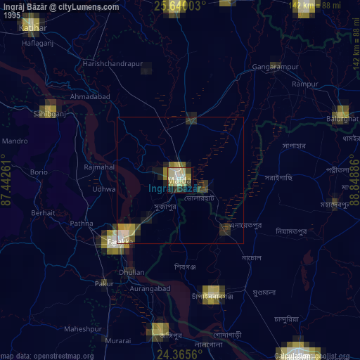
» NASA, Earths city lights 1995
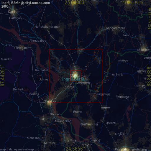
» NASA city lights 2003
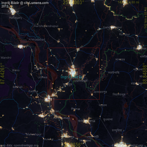
» Earth at Night: Flat Maps 2012, 2016