Sāhibganj night lights from space
Night Light of Sāhibganj (Jharkhand) from space (India) Src. Average luminocity for 10x10km area is 30.4623% and for 50x50km: 6.8885%.
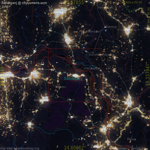
Analysis of Sāhibganj night lights 2016
Square area 10x10 km:
 6.94%
6.94%90-99
6.55%80-89
3.17%70-79
2.38%60-69
0.4%50-59
2.98%40-49
4.56%30-39
1.59%20-29
2.18%10-19
48.02%0-9
21.23%Square area 50x50 km:
0.4%90-99
0.55%80-89
0.5%70-79
0.54%60-69
0.65%50-59
1.14%40-49
1.6%30-39
1.88%20-29
1.68%10-19
4.98%0-9
86.08%Clear (daylight) street map image can be seen on geolist.org.
Map coordinates:
25° 52' 42.8" North, 86° 55' 54.1" East
25° 14' 39.3" North, 87° 38' 5.3" East
24° 36' 23.8" North, 88° 20' 16.6" East
Some cities around Sāhibganj sort by population:
• Katihar
33.4 km =20.8 mi,  348°
348°
• Ingrāj Bāzār
57.9 km =36 mi,  117°
117°
• Naugachhia
56.2 km =34.9 mi,  286°
286°
• Colgong
40.5 km =25.2 mi,  272°
272°
• Manihāri
10.6 km =6.6 mi, 351°
• Farakka
54.5 km =33.9 mi,  150°
150°
• Rājmahal
29 km =18 mi,  137°
137°
• Raghunāthpur
52.8 km =32.8 mi,  32°
32°
1257794 (p: 95,890)
Sources (retrieved 2019-11-25):
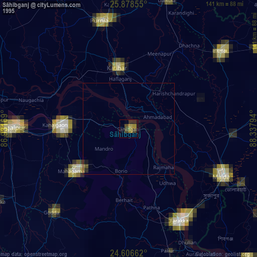
» NASA, Earths city lights 1995
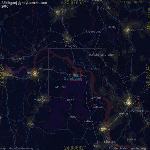
» NASA city lights 2003
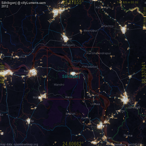
» Earth at Night: Flat Maps 2012, 2016