Indi night lights from space
Night Light of Indi (Karnataka) from space (India) Src. Average luminocity for 10x10km area is 11.6322% and for 50x50km: 1.9732%.
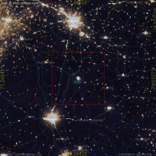
Analysis of Indi night lights 2016
Square area 10x10 km:
 2.07%
2.07%90-99
2.48%80-89
1.24%70-79
0.83%60-69
1.03%50-59
0.62%40-49
0.41%30-39
2.27%20-29
1.24%10-19
4.55%0-9
83.26%Square area 50x50 km:
0.1%90-99
0.19%80-89
0.1%70-79
0.15%60-69
0.29%50-59
0.47%40-49
0.39%30-39
0.53%20-29
0.71%10-19
0.77%0-9
96.3%Clear (daylight) street map image can be seen on geolist.org.
Map coordinates:
17° 50' 52.4" North, 75° 14' 58.1" East
17° 10' 38.5" North, 75° 57' 9.4" East
16° 30' 15.8" North, 76° 39' 20.6" East
Some cities around Indi sort by population:
• Solāpur
55.1 km =34.2 mi,  355°
355°
• Bijapur
46.7 km =29 mi,  212°
212°
• Akalkot
47.1 km =29.3 mi,  34°
34°
• Sindgi
41.5 km =25.8 mi,  133°
133°
• Basavana Bāgevādi
67.3 km =41.8 mi,  178°
178°
• Afzalpur
43.4 km =27 mi,  86°
86°
• Dudhani
48.4 km =30.1 mi,  65°
65°
• Maindargi
47.7 km =29.6 mi,  49°
49°
1269751 (p: 34,075)
Sources (retrieved 2019-11-25):
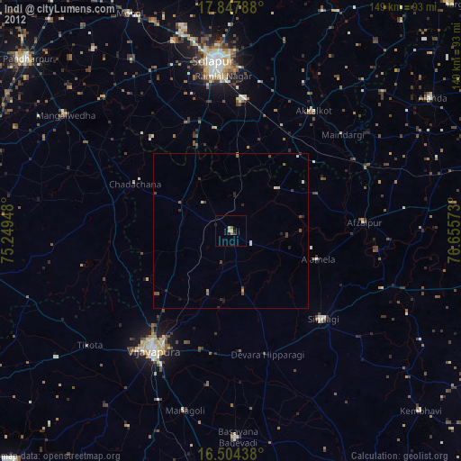
» Earth at Night: Flat Maps 2012, 2016