Bijapur night lights from space
Night Light of Bijapur (Karnataka) from space (India) Src. Average luminocity for 10x10km area is 84.6255% and for 50x50km: 7.8225%.
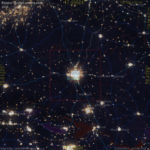
Analysis of Bijapur night lights 2016
Square area 10x10 km:
 33.77%
90-99
31.6%80-89
7.58%70-79
4.33%60-69
3.68%50-59
6.71%40-49
4.55%30-39
4.98%20-29
2.6%10-19
0.22%0-9
0%Square area 50x50 km:
1.36%90-99
1.47%80-89
0.72%70-79
0.59%60-69
0.97%50-59
1.09%40-49
1.07%30-39
1.61%20-29
2.22%10-19
4.4%0-9
84.5%Clear (daylight) street map image can be seen on geolist.org.
Map coordinates:
17° 29' 46.5" North, 75° 0' 44.1" East
16° 49' 27.9" North, 75° 42' 55.3" East
16° 9' 0.8" North, 76° 25' 6.6" East
Some cities around Bijapur sort by population:
• Bagalkot
70.9 km =44.1 mi,  181°
181°
• Jamkhandi
57.5 km =35.7 mi,  231°
231°
• Athni
70.2 km =43.6 mi,  261°
261°
• Indi
46.7 km =29 mi,  32°
32°
• Sindgi
56.1 km =34.9 mi,  79°
79°
• Muddebihāl
70 km =43.5 mi,  140°
140°
• Basavana Bāgevādi
39.2 km =24.4 mi, 135°
• Bilgi
54.1 km =33.6 mi,  191°
191°
1275701 (p: 271,064)
Sources (retrieved 2019-11-25):
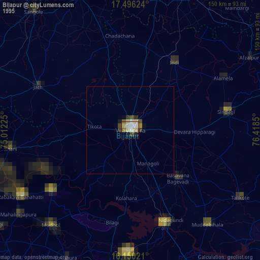
» NASA, Earths city lights 1995
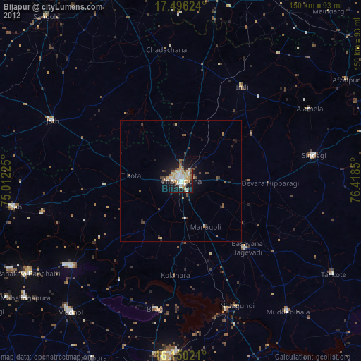
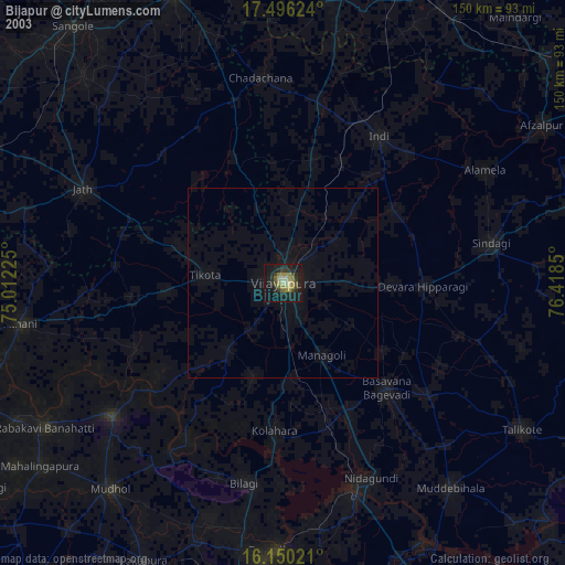
» NASA city lights 2003
» Earth at Night: Flat Maps 2012, 2016