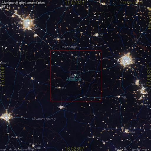
Afzalpur night lights from space
Night Light of Afzalpur (Karnataka) from space (India) Src. Average luminocity for 10x10km area is 6.0868% and for 50x50km: 2.3533%.
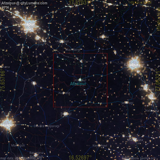
Analysis of Afzalpur night lights 2016
Square area 10x10 km:
 0.62%
0.62%90-99
1.24%80-89
1.45%70-79
0%60-69
0%50-59
0.83%40-49
0.83%30-39
1.03%20-29
3.1%10-19
0.83%0-9
90.08%Square area 50x50 km:
0.08%90-99
0.26%80-89
0.15%70-79
0.19%60-69
0.44%50-59
0.56%40-49
0.56%30-39
0.54%20-29
0.89%10-19
0.61%0-9
95.73%Clear (daylight) street map image can be seen on geolist.org.
Map coordinates:
17° 52' 13.1" North, 75° 39' 25.4" East
17° 11' 59.5" North, 76° 21' 36.6" East
16° 31' 37.1" North, 77° 3' 47.9" East
Some cities around Afzalpur sort by population:
• Gulbarga
52.9 km =32.9 mi,  73°
73°
• Akalkot
39.7 km =24.7 mi,  335°
335°
• Aland
46.2 km =28.7 mi,  28°
28°
• Indi
43.4 km =27 mi,  266°
266°
• Sindgi
34 km =21.1 mi,  203°
203°
• Jevargi
48.5 km =30.1 mi,  115°
115°
• Dudhani
17.6 km =10.9 mi,  2°
2°
• Maindargi
29.5 km =18.3 mi,  346°
346°
1279306 (p: 20,094)
Sources (retrieved 2019-11-25):
» Earth at Night: Flat Maps 2012, 2016