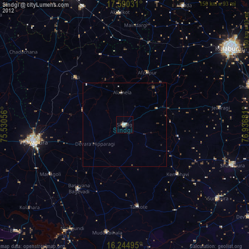
Sindgi night lights from space
Night Light of Sindgi (Karnataka) from space (India) Src. Average luminocity for 10x10km area is 16.29% and for 50x50km: 1.9584%.
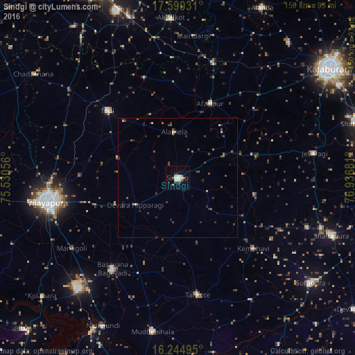
Analysis of Sindgi night lights 2016
Square area 10x10 km:
 2.81%
2.81%90-99
2.81%80-89
3.03%70-79
0.87%60-69
0%50-59
1.73%40-49
3.46%30-39
2.38%20-29
1.95%10-19
1.52%0-9
79.44%Square area 50x50 km:
0.13%90-99
0.22%80-89
0.23%70-79
0.09%60-69
0.16%50-59
0.45%40-49
0.48%30-39
0.58%20-29
0.64%10-19
0.51%0-9
96.52%Clear (daylight) street map image can be seen on geolist.org.
Map coordinates:
17° 35' 25.1" North, 75° 31' 50" East
16° 55' 7.8" North, 76° 14' 1.2" East
16° 14' 41.8" North, 76° 56' 12.5" East
Some cities around Sindgi sort by population:
• Bijapur
56.1 km =34.9 mi,  259°
259°
• Indi
41.5 km =25.8 mi,  313°
313°
• Basavana Bāgevādi
47.5 km =29.5 mi,  215°
215°
• Tālīkota
50.2 km =31.2 mi,  170°
170°
• Jevargi
58.3 km =36.2 mi,  79°
79°
• Afzalpur
34 km =21.1 mi,  23°
23°
• Dudhani
50.8 km =31.6 mi, 16°
• Maindargi
60.2 km =37.4 mi,  6°
6°
1256214 (p: 33,770)
Sources (retrieved 2019-11-25):
» Earth at Night: Flat Maps 2012, 2016