Brahmapur night lights from space
Night Light of Brahmapur (Odisha) from space (India) Src. Average luminocity for 10x10km area is 71.2468% and for 50x50km: 13.391%.
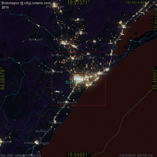
Analysis of Brahmapur night lights 2016
Square area 10x10 km:
 15.8%
15.8%90-99
24.68%80-89
7.36%70-79
6.93%60-69
4.76%50-59
11.69%40-49
12.77%30-39
11.04%20-29
4.98%10-19
0%0-9
0%Square area 50x50 km:
1.01%90-99
2.01%80-89
0.9%70-79
1.21%60-69
1.17%50-59
2.81%40-49
3.32%30-39
3.91%20-29
4.94%10-19
8.42%0-9
70.31%Clear (daylight) street map image can be seen on geolist.org.
Map coordinates:
19° 58' 25.4" North, 84° 5' 23.2" East
19° 18' 41.4" North, 84° 47' 34.4" East
18° 38' 47.8" North, 85° 29' 45.7" East
Some cities around Brahmapur sort by population:
• Ichchāpuram
24.6 km =15.3 mi,  206°
206°
• Hinjilikatu
19.6 km =12.2 mi,  345°
345°
• Chatrapur
20.6 km =12.8 mi,  76°
76°
• Purushottampur
25.1 km =15.6 mi,  22°
22°
• Ganjām
28.3 km =17.6 mi,  72°
72°
• Digapahandi
24.2 km =15 mi,  286°
286°
• Chikitigarh
22.3 km =13.9 mi,  237°
237°
• Gopālpur
13.2 km =8.2 mi,  116°
116°
1275198 (p: 324,726)
Sources (retrieved 2019-11-25):
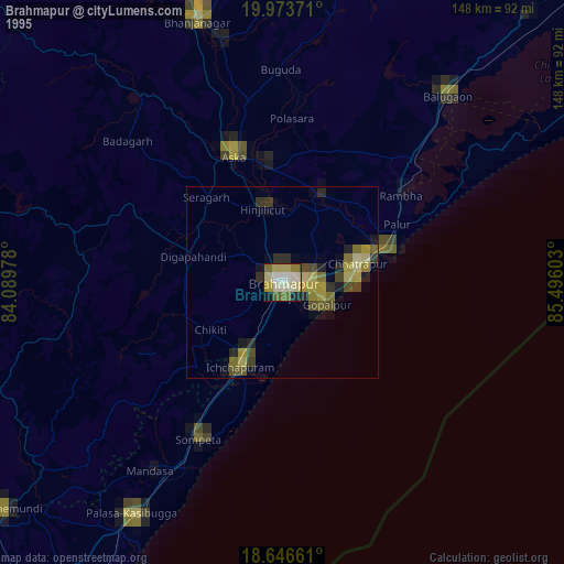
» NASA, Earths city lights 1995
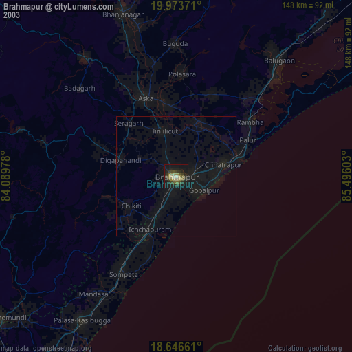
» NASA city lights 2003
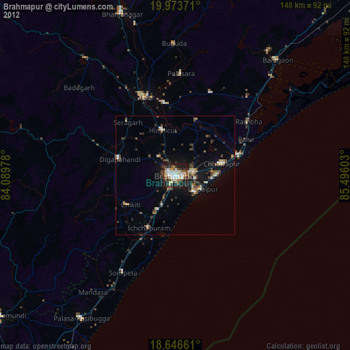
» Earth at Night: Flat Maps 2012, 2016