Modāsa night lights from space
Night Light of Modāsa (Gujarat) from space (India) Src. Average luminocity for 10x10km area is 26.1061% and for 50x50km: 2.9084%.
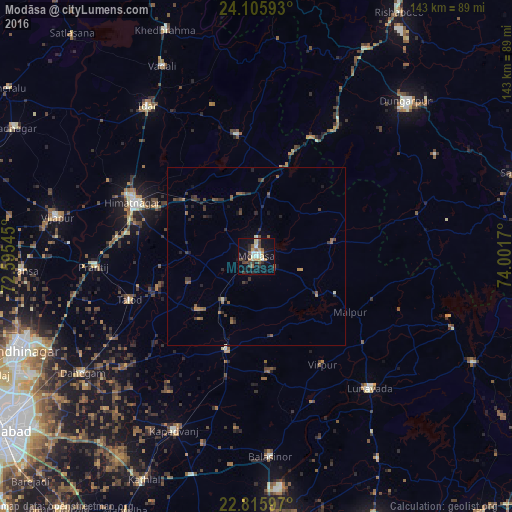

Analysis of Modāsa night lights 2016
Square area 10x10 km:
 0.57%
0.57%90-99
5.49%80-89
3.22%70-79
3.98%60-69
2.08%50-59
4.73%40-49
3.03%30-39
5.87%20-29
5.3%10-19
27.65%0-9
38.07%Square area 50x50 km:
0.02%90-99
0.29%80-89
0.2%70-79
0.27%60-69
0.41%50-59
0.75%40-49
0.61%30-39
0.95%20-29
0.89%10-19
1.67%0-9
93.94%Clear (daylight) street map image can be seen on geolist.org.
Map coordinates:
24° 6' 21.3" North, 72° 35' 43.6" East
23° 27' 45.1" North, 73° 17' 54.9" East
22° 48' 57.5" North, 74° 0' 6.1" East
Some cities around Modāsa sort by population:
• Himatnagar
37.1 km =23.1 mi,  294°
294°
• Kapadvanj
54.1 km =33.6 mi,  205°
205°
• Lūnāvāda
48.9 km =30.4 mi,  139°
139°
• Vijāpur
57.2 km =35.5 mi,  281°
281°
• Chhala
56.2 km =34.9 mi,  252°
252°
• Meghraj
22.3 km =13.9 mi,  79°
79°
• Virpur
35.6 km =22.1 mi,  148°
148°
• Mālpur
20.5 km =12.7 mi,  123°
123°
1262958 (p: 58,970)
Sources (retrieved 2019-11-25):
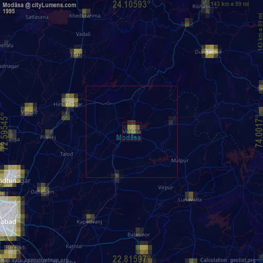
» NASA, Earths city lights 1995
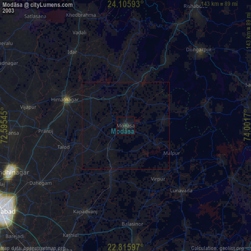
» NASA city lights 2003
» Earth at Night: Flat Maps 2012, 2016