Vejalpur night lights from space
Night Light of Vejalpur (Gujarat) from space (India) Src. Average luminocity for 10x10km area is 10% and for 50x50km: 12.2919%.
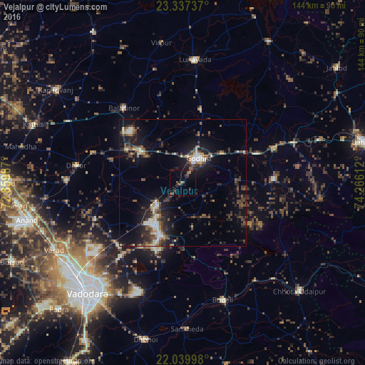
Analysis of Vejalpur night lights 2016
Square area 10x10 km:
 0%
0%90-99
0%80-89
0%70-79
1.39%60-69
2.98%50-59
1.59%40-49
2.98%30-39
2.58%20-29
3.57%10-19
5.75%0-9
79.17%Square area 50x50 km:
0.44%90-99
2.1%80-89
1.18%70-79
0.82%60-69
1.13%50-59
2.19%40-49
2.79%30-39
2.98%20-29
4.47%10-19
10.91%0-9
70.97%Clear (daylight) street map image can be seen on geolist.org.
Map coordinates:
23° 20' 14.5" North, 72° 51' 35.5" East
22° 41' 24.8" North, 73° 33' 46.8" East
22° 2' 23.9" North, 74° 15' 58" East
Some cities around Vejalpur sort by population:
• Godhra
10.9 km =6.8 mi,  29°
29°
• Hālol
22.8 km =14.2 mi,  204°
204°
• Kālol
13.8 km =8.6 mi,  228°
228°
• Dākor
43 km =26.7 mi,  279°
279°
• Morwa
37 km =23 mi,  49°
49°
• Devgadh Bāriya
35.5 km =22.1 mi,  87°
87°
• Thāsra
38 km =23.6 mi,  288°
288°
• Shivrājpur
30.1 km =18.7 mi,  171°
171°
1253315 (p: 121,610)
Sources (retrieved 2019-11-25):
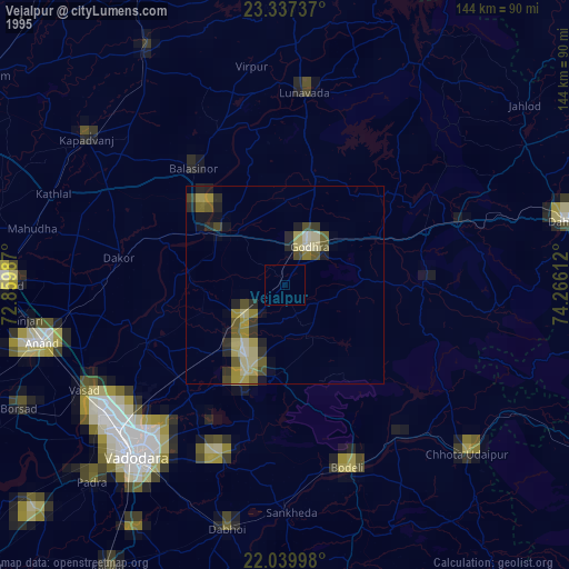
» NASA, Earths city lights 1995
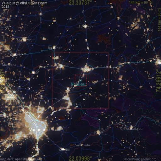
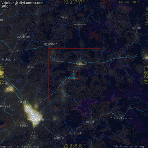
» NASA city lights 2003
» Earth at Night: Flat Maps 2012, 2016