Mahārājgani night lights from space
Night Light of Mahārājgani (Bihar) from space (India) Src. Average luminocity for 10x10km area is 26.4603% and for 50x50km: 13.5911%.
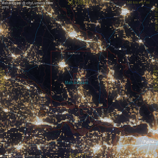
Analysis of Mahārājgani night lights 2016
Square area 10x10 km:
 1.39%
1.39%90-99
0.99%80-89
1.59%70-79
5.36%60-69
3.77%50-59
6.75%40-49
3.97%30-39
8.53%20-29
7.34%10-19
33.13%0-9
27.18%Square area 50x50 km:
0.59%90-99
0.72%80-89
0.9%70-79
1.42%60-69
1.91%50-59
2.79%40-49
3.29%30-39
4.36%20-29
5.83%10-19
12.33%0-9
65.86%Clear (daylight) street map image can be seen on geolist.org.
Map coordinates:
26° 44' 23.4" North, 83° 48' 1.9" East
26° 6' 36.6" North, 84° 30' 13.1" East
25° 28' 37.6" North, 85° 12' 24.4" East
Some cities around Mahārājgani sort by population:
• Siwān
19.2 km =11.9 mi,  309°
309°
• Barauli
31.2 km =19.4 mi,  15°
15°
• Revelganj
38 km =23.6 mi,  159°
159°
• Marhaura
39.4 km =24.5 mi,  112°
112°
• Reoti
31.5 km =19.6 mi,  203°
203°
• Bānsdīh
38 km =23.6 mi,  228°
228°
• Maniar
35.9 km =22.3 mi,  247°
247°
• Mairwa
36.6 km =22.7 mi,  291°
291°
1264436 (p: 22,430)
Sources (retrieved 2019-11-25):
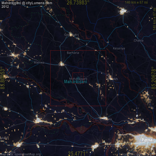
» Earth at Night: Flat Maps 2012, 2016