Gondā City night lights from space
Night Light of Gondā City (Uttar Pradesh) from space (India) Src. Average luminocity for 10x10km area is 72.7367% and for 50x50km: 13.1226%.
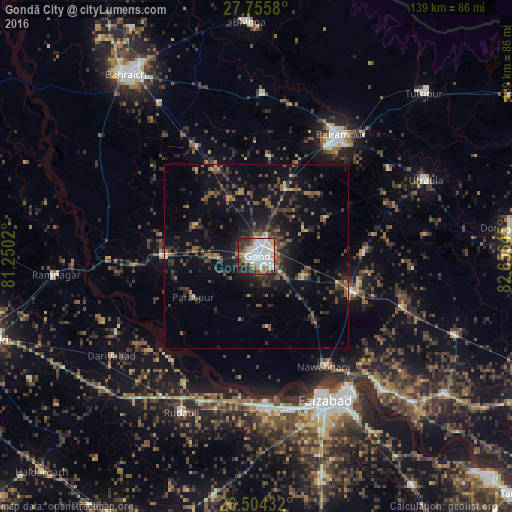
Analysis of Gondā City night lights 2016
Square area 10x10 km:
 25.57%
90-99
22.54%80-89
6.82%70-79
4.55%60-69
7.58%50-59
3.79%40-49
8.14%30-39
6.44%20-29
11.93%10-19
2.65%0-9
0%Square area 50x50 km:
1.13%90-99
1.2%80-89
0.64%70-79
0.83%60-69
1.85%50-59
2.22%40-49
2.95%30-39
3.82%20-29
5.27%10-19
10.71%0-9
69.38%Clear (daylight) street map image can be seen on geolist.org.
Map coordinates:
27° 45' 20.9" North, 81° 15' 0.7" East
27° 7' 54.5" North, 81° 57' 12" East
26° 30' 15.6" North, 82° 39' 23.2" East
Some cities around Gondā City sort by population:
• Balrāmpur
40.3 km =25 mi,  34°
34°
• Colonelganj
25.2 km =15.7 mi,  270°
270°
• Jarwal
40.9 km =25.4 mi, 274°
• Nawābganj
35.1 km =21.8 mi,  148°
148°
• Mankāpur
28.8 km =17.9 mi,  107°
107°
• Khargupur
27.4 km =17 mi,  7°
7°
• Tikaitnagar
43.6 km =27.1 mi,  241°
241°
• Katra
42.5 km =26.4 mi, 9°
1270996 (p: 133,583)
Sources (retrieved 2019-11-25):
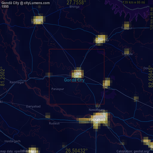
» NASA, Earths city lights 1995
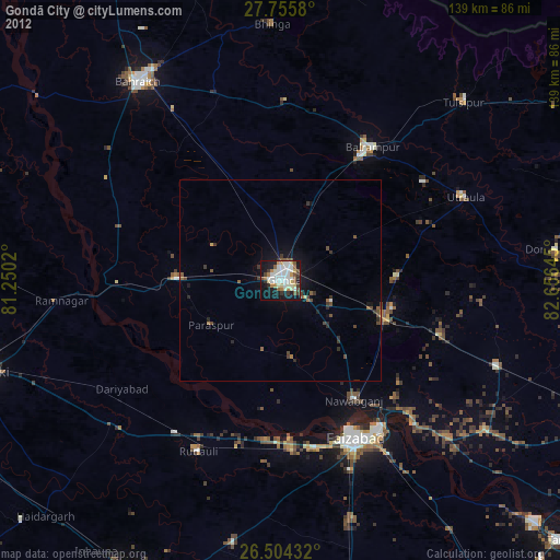
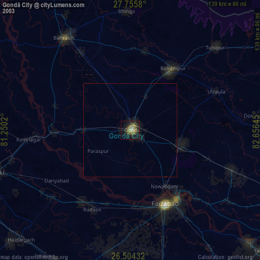
» NASA city lights 2003
» Earth at Night: Flat Maps 2012, 2016