Colonelganj night lights from space
Night Light of Colonelganj (Uttar Pradesh) from space (India) Src. Average luminocity for 10x10km area is 19.4356% and for 50x50km: 8.037%.
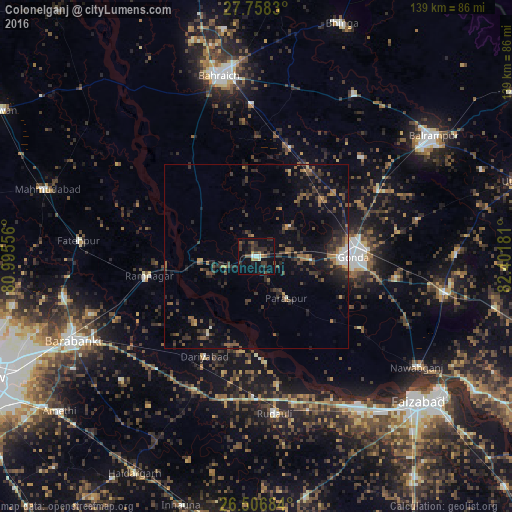
Analysis of Colonelganj night lights 2016
Square area 10x10 km:
 0.76%
0.76%90-99
2.27%80-89
0.57%70-79
2.08%60-69
1.14%50-59
2.27%40-49
3.98%30-39
8.71%20-29
9.85%10-19
13.83%0-9
54.55%Square area 50x50 km:
0.38%90-99
0.41%80-89
0.29%70-79
0.68%60-69
1.12%50-59
1.5%40-49
1.87%30-39
2.76%20-29
3.83%10-19
5.33%0-9
81.85%Clear (daylight) street map image can be seen on geolist.org.
Map coordinates:
27° 45' 29.9" North, 80° 59' 44" East
27° 8' 3.6" North, 81° 41' 55.2" East
26° 30' 24.6" North, 82° 24' 6.5" East
Some cities around Colonelganj sort by population:
• Bahraigh
50 km =31.1 mi,  348°
348°
• Gondā City
25.2 km =15.7 mi,  90°
90°
• Fatehpur
48.5 km =30.1 mi,  275°
275°
• Zaidpur
49.8 km =30.9 mi,  227°
227°
• Jarwal
15.8 km =9.8 mi, 281°
• Rāmnagar
29.5 km =18.3 mi,  259°
259°
• Khargupur
39.3 km =24.4 mi,  46°
46°
• Tikaitnagar
24.7 km =15.3 mi,  212°
212°
1273850 (p: 25,503)
Sources (retrieved 2019-11-25):
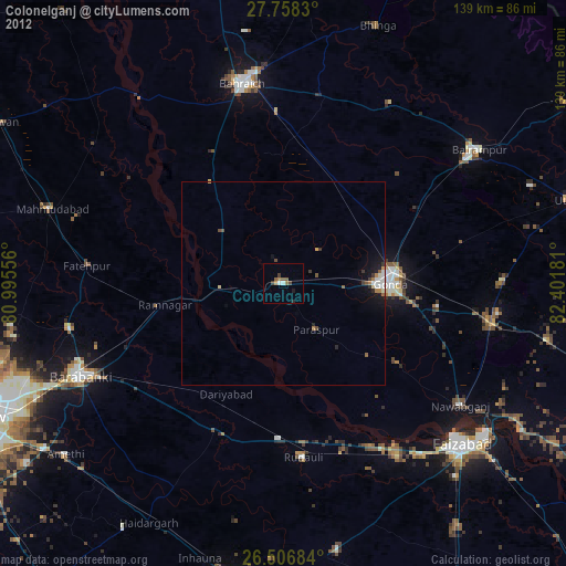
» Earth at Night: Flat Maps 2012, 2016