Gokarna night lights from space
Night Light of Gokarna (Karnataka) from space (India) Src. Average luminocity for 10x10km area is 1.4091% and for 50x50km: 1.702%.
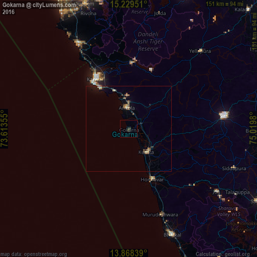
Analysis of Gokarna night lights 2016
Square area 10x10 km:
 0%
0%90-99
0%80-89
0%70-79
0%60-69
0%50-59
0%40-49
1.52%30-39
0.65%20-29
1.3%10-19
0.87%0-9
95.67%Square area 50x50 km:
0.02%90-99
0.26%80-89
0.22%70-79
0.18%60-69
0.18%50-59
0.31%40-49
0.28%30-39
0.31%20-29
0.43%10-19
0.79%0-9
97.01%Clear (daylight) street map image can be seen on geolist.org.
Map coordinates:
15° 13' 46.2" North, 73° 36' 48.8" East
14° 33' 0" North, 74° 19' 0" East
13° 52' 6.2" North, 75° 1' 11.3" East
Some cities around Gokarna sort by population:
• Karwar
35.5 km =22.1 mi,  325°
325°
• Sirsi
56.4 km =35 mi,  81°
81°
• Kumta
17.4 km =10.8 mi,  140°
140°
• Honāvar
33 km =20.5 mi,  155°
155°
• Murudeshwara
53.8 km =33.4 mi, 160°
• Ankola
12.4 km =7.7 mi,  354°
354°
• Kānkon
60.5 km =37.6 mi, 331°
• Canacona
57.2 km =35.5 mi, 330°
1271064 (p: 25,851)
Sources (retrieved 2019-11-25):
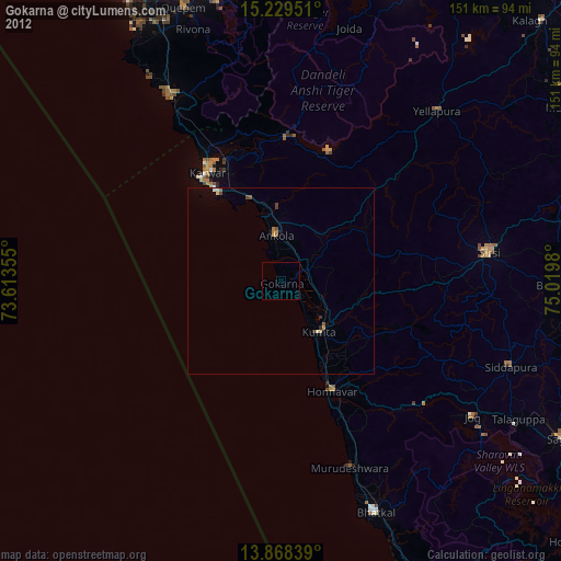
» Earth at Night: Flat Maps 2012, 2016