Canacona night lights from space
Night Light of Canacona (Karnataka) from space (India) Src. Average luminocity for 10x10km area is 17.3223% and for 50x50km: 6.2272%.
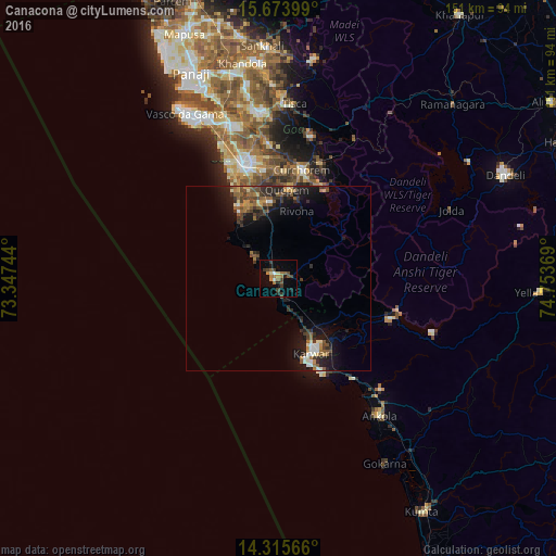
Analysis of Canacona night lights 2016
Square area 10x10 km:
 0.41%
0.41%90-99
1.45%80-89
1.45%70-79
3.1%60-69
3.31%50-59
2.89%40-49
4.96%30-39
4.75%20-29
1.65%10-19
4.55%0-9
71.49%Square area 50x50 km:
0.39%90-99
0.69%80-89
0.46%70-79
0.77%60-69
0.81%50-59
1.36%40-49
1.35%30-39
1.5%20-29
2.04%10-19
4.89%0-9
85.75%Clear (daylight) street map image can be seen on geolist.org.
Map coordinates:
15° 40' 26.4" North, 73° 20' 50.8" East
14° 59' 45.2" North, 74° 3' 2" East
14° 18' 56.4" North, 74° 45' 13.3" East
Some cities around Canacona sort by population:
• Karwar
22 km =13.7 mi,  157°
157°
• Cuncolim
21.1 km =13.1 mi,  343°
343°
• Quepem
24.3 km =15.1 mi,  6°
6°
• Kānkon
3.5 km =2.2 mi,  352°
352°
• Cavelossim
22.8 km =14.2 mi,  329°
329°
• Chinchinim
25.6 km =15.9 mi, 341°
• Sanguem
28.1 km =17.5 mi,  22°
22°
• Varca
28.7 km =17.8 mi, 336°
6697165 (p: 11,900)
Sources (retrieved 2019-11-25):
» Earth at Night: Flat Maps 2012, 2016