Murudeshwara night lights from space
Night Light of Murudeshwara (Karnataka) from space (India) Src. Average luminocity for 10x10km area is 4.7771% and for 50x50km: 1.2261%.
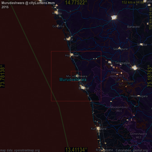
Analysis of Murudeshwara night lights 2016
Square area 10x10 km:
 0%
0%90-99
0%80-89
0.87%70-79
0%60-69
0%50-59
1.52%40-49
4.11%30-39
1.08%20-29
0.87%10-19
1.52%0-9
90.04%Square area 50x50 km:
0%90-99
0.18%80-89
0.21%70-79
0.17%60-69
0.13%50-59
0.23%40-49
0.29%30-39
0.17%20-29
0.33%10-19
0.31%0-9
98%Clear (daylight) street map image can be seen on geolist.org.
Map coordinates:
14° 46' 30.8" North, 73° 46' 53" East
14° 5' 39.5" North, 74° 29' 4.2" East
13° 24' 40.8" North, 75° 11' 15.5" East
Some cities around Murudeshwara sort by population:
• Bhatkal
14.3 km =8.9 mi,  147°
147°
• Coondapoor
56.1 km =34.9 mi,  156°
156°
• Kumta
37.8 km =23.5 mi,  349°
349°
• Gokarna
53.8 km =33.4 mi,  340°
340°
• Byndoor
30 km =18.6 mi, 147°
• Honāvar
21.2 km =13.2 mi, 348°
• Gangolli
53.3 km =33.1 mi, 157°
• Siddāpur
52.1 km =32.4 mi,  57°
57°
6941937 (p: 17,938)
Sources (retrieved 2019-11-25):
» Earth at Night: Flat Maps 2012, 2016