Sirsi night lights from space
Night Light of Sirsi (Karnataka) from space (India) Src. Average luminocity for 10x10km area is 25.0606% and for 50x50km: 1.072%.
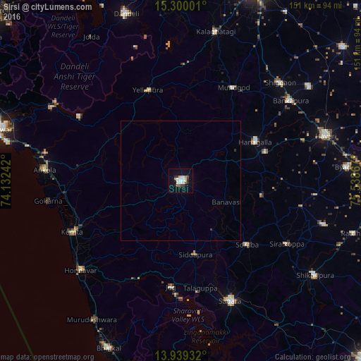
Analysis of Sirsi night lights 2016
Square area 10x10 km:
 5.41%
5.41%90-99
6.71%80-89
3.03%70-79
0.43%60-69
2.6%50-59
0.65%40-49
2.81%30-39
1.52%20-29
3.25%10-19
19.7%0-9
53.9%Square area 50x50 km:
0.2%90-99
0.25%80-89
0.11%70-79
0.02%60-69
0.1%50-59
0.02%40-49
0.14%30-39
0.06%20-29
0.16%10-19
0.75%0-9
98.19%Clear (daylight) street map image can be seen on geolist.org.
Map coordinates:
15° 18' 0" North, 74° 7' 56.7" East
14° 37' 14.6" North, 74° 50' 7.9" East
13° 56' 21.6" North, 75° 32' 19.2" East
Some cities around Sirsi sort by population:
• Sāgar
54.8 km =34.1 mi,  157°
157°
• Kumta
49.7 km =30.9 mi,  244°
244°
• Hāngal
35 km =21.7 mi,  62°
62°
• Gokarna
56.4 km =35 mi,  261°
261°
• Yellāpur
40.5 km =25.2 mi,  340°
340°
• Mundgod
44.6 km =27.7 mi,  28°
28°
• Siddāpur
31.5 km =19.6 mi,  168°
168°
• Sorab
38.3 km =23.8 mi,  133°
133°
1256047 (p: 61,607)
Sources (retrieved 2019-11-25):
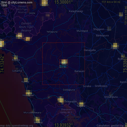
» NASA, Earths city lights 1995
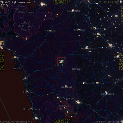
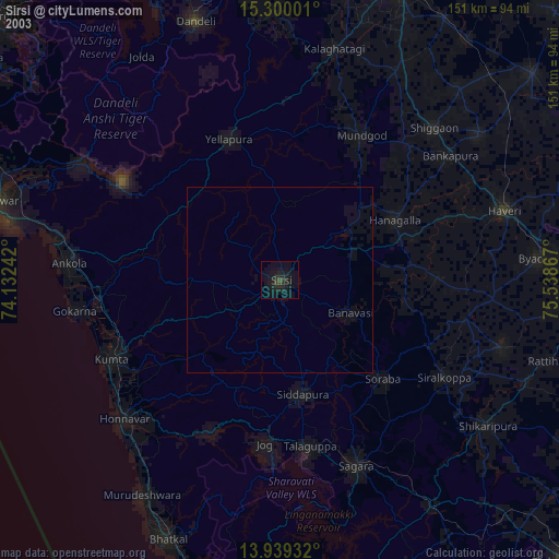
» NASA city lights 2003
» Earth at Night: Flat Maps 2012, 2016