Mau night lights from space
Night Light of Mau (Uttar Pradesh) from space (India) Src. Average luminocity for 10x10km area is 89.8948% and for 50x50km: 45.779%.
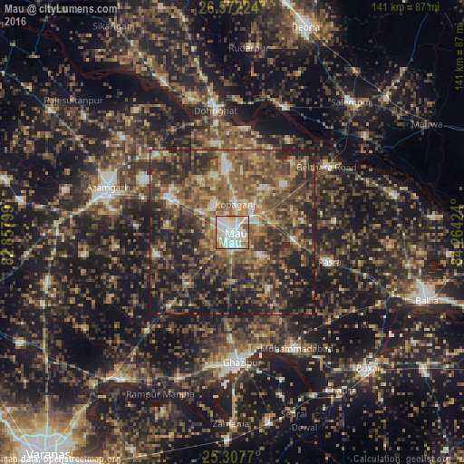
Analysis of Mau night lights 2016
Square area 10x10 km:
 33.73%
90-99
32.74%80-89
12.9%70-79
6.55%60-69
8.53%50-59
3.57%40-49
1.98%30-39
0%20-29
0%10-19
0%0-9
0%Square area 50x50 km:
3.33%90-99
4.19%80-89
4.18%70-79
6.39%60-69
9.31%50-59
13.24%40-49
13.54%30-39
13.09%20-29
16.84%10-19
15.44%0-9
0.44%Clear (daylight) street map image can be seen on geolist.org.
Map coordinates:
26° 34' 20.1" North, 82° 51' 28.8" East
25° 56' 30" North, 83° 33' 40" East
25° 18' 27.7" North, 84° 15' 51.3" East
Some cities around Mau sort by population:
• Mubārakpur
31.6 km =19.6 mi,  301°
301°
• Ghosī
18.4 km =11.4 mi,  353°
353°
• Kopāganj
8.6 km =5.3 mi,  3°
3°
• Rasrā
30.8 km =19.1 mi,  107°
107°
• Muhammadābād
20.7 km =12.9 mi, 299°
• Chillupār
38.3 km =23.8 mi, 351°
• Jainpur
32.7 km =20.3 mi,  316°
316°
• Dohrighāt
37.1 km =23.1 mi, 351°
1263311 (p: 246,050)
Sources (retrieved 2019-11-25):
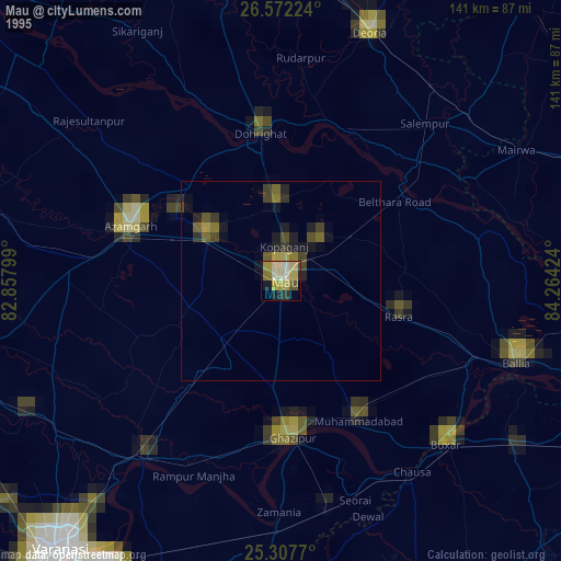
» NASA, Earths city lights 1995
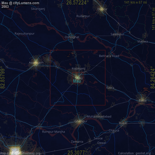
» NASA city lights 2003
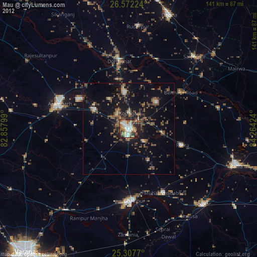
» Earth at Night: Flat Maps 2012, 2016