Shikohābād night lights from space
Night Light of Shikohābād (Uttar Pradesh) from space (India) Src. Average luminocity for 10x10km area is 36.625% and for 50x50km: 14.3209%.
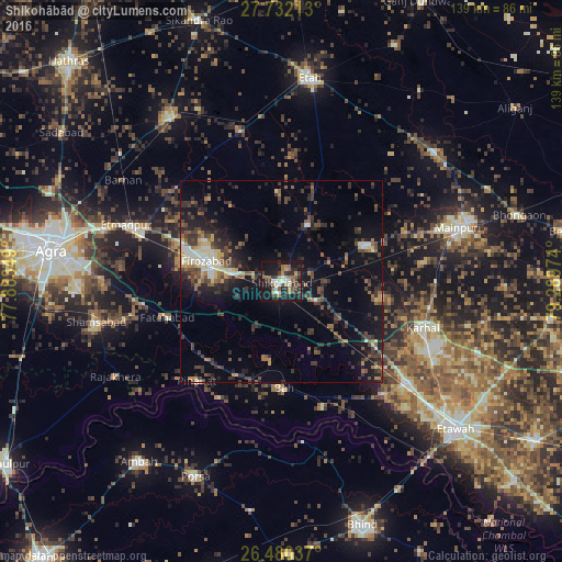
Analysis of Shikohābād night lights 2016
Square area 10x10 km:
 2.84%
2.84%90-99
6.63%80-89
1.7%70-79
4.17%60-69
7.77%50-59
6.44%40-49
7.58%30-39
7.58%20-29
11.93%10-19
37.5%0-9
5.87%Square area 50x50 km:
0.83%90-99
1.68%80-89
1.38%70-79
1.14%60-69
1.77%50-59
2.24%40-49
3.55%30-39
4.12%20-29
4.99%10-19
11.32%0-9
66.97%Clear (daylight) street map image can be seen on geolist.org.
Map coordinates:
27° 43' 55.7" North, 77° 53' 0.6" East
27° 6' 28.8" North, 78° 35' 11.8" East
26° 28' 49.3" North, 79° 17' 23.1" East
Some cities around Shikohābād sort by population:
• Fīrozābād
19.3 km =12 mi,  284°
284°
• Sirsāganj
11.4 km =7.1 mi,  119°
119°
• Fatehābād
29.5 km =18.3 mi,  252°
252°
• Pināhat
32.4 km =20.1 mi,  220°
220°
• Bāh
26.6 km =16.5 mi,  178°
178°
• Ghiror
22.3 km =13.9 mi,  66°
66°
• Jasrāna
15.6 km =9.7 mi,  24°
24°
• Pharihā
26.3 km =16.3 mi,  334°
334°
1256529 (p: 99,678)
Sources (retrieved 2019-11-25):
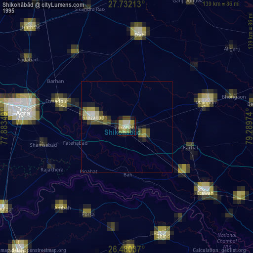
» NASA, Earths city lights 1995
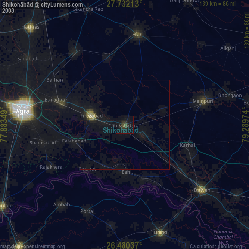
» NASA city lights 2003
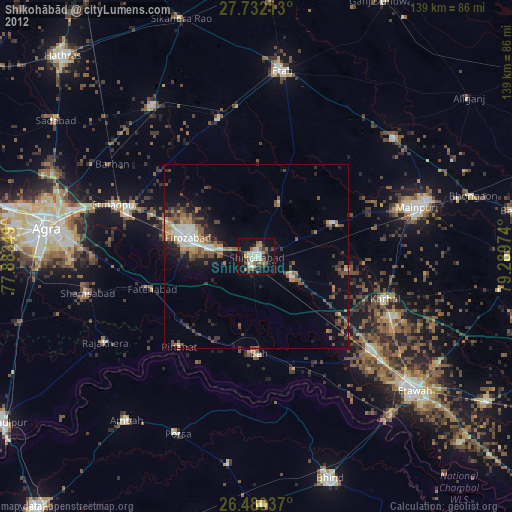
» Earth at Night: Flat Maps 2012, 2016