Sirsāganj night lights from space
Night Light of Sirsāganj (Uttar Pradesh) from space (India) Src. Average luminocity for 10x10km area is 14.8274% and for 50x50km: 17.1422%.
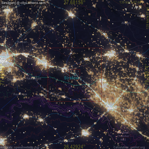
Analysis of Sirsāganj night lights 2016
Square area 10x10 km:
 0%
0%90-99
0.79%80-89
0%70-79
0%60-69
1.19%50-59
3.57%40-49
7.34%30-39
5.75%20-29
4.96%10-19
13.29%0-9
63.1%Square area 50x50 km:
0.51%90-99
1.29%80-89
1.5%70-79
1.8%60-69
2.9%50-59
3.83%40-49
4.96%30-39
4.74%20-29
5.41%10-19
14.15%0-9
58.91%Clear (daylight) street map image can be seen on geolist.org.
Map coordinates:
27° 40' 53.6" North, 77° 59' 0.6" East
27° 3' 25.7" North, 78° 41' 11.8" East
26° 25' 45.3" North, 79° 23' 23.1" East
Some cities around Sirsāganj sort by population:
• Fīrozābād
30.4 km =18.9 mi,  290°
290°
• Shikohābād
11.4 km =7.1 mi,  299°
299°
• Jaswantnagar
28.9 km =18 mi,  132°
132°
• Karhal
25.8 km =16 mi,  104°
104°
• Pināhat
36.2 km =22.5 mi,  238°
238°
• Bāh
22.8 km =14.2 mi,  203°
203°
• Ghiror
18.1 km =11.2 mi,  35°
35°
• Jasrāna
20.2 km =12.6 mi,  350°
350°
1256050 (p: 29,034)
Sources (retrieved 2019-11-25):
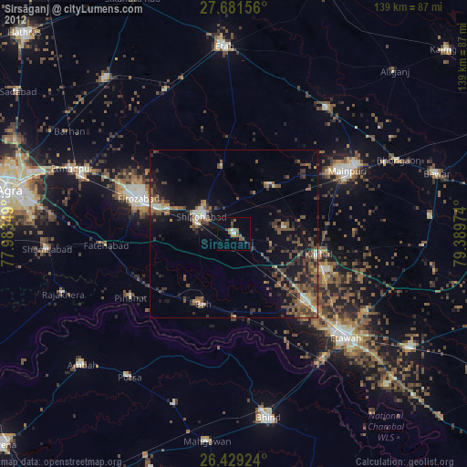
» Earth at Night: Flat Maps 2012, 2016