Dumka night lights from space
Night Light of Dumka (Jharkhand) from space (India) Src. Average luminocity for 10x10km area is 41.3902% and for 50x50km: 4.2403%.
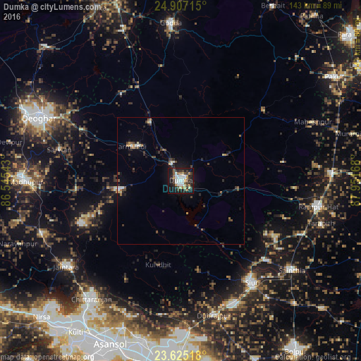
Analysis of Dumka night lights 2016
Square area 10x10 km:
 7.58%
7.58%90-99
9.66%80-89
4.36%70-79
3.98%60-69
2.84%50-59
3.98%40-49
6.25%30-39
7.95%20-29
12.5%10-19
34.85%0-9
6.06%Square area 50x50 km:
0.41%90-99
0.65%80-89
0.35%70-79
0.42%60-69
0.38%50-59
0.57%40-49
0.76%30-39
0.8%20-29
1.32%10-19
3.15%0-9
91.19%Clear (daylight) street map image can be seen on geolist.org.
Map coordinates:
24° 54' 25.7" North, 86° 32' 43.5" East
24° 16' 4" North, 87° 14' 54.8" East
23° 37' 30.6" North, 87° 57' 6" East
Some cities around Dumka sort by population:
• Siuri
49 km =30.4 mi,  144°
144°
• Rampur Hat
55.1 km =34.2 mi,  100°
100°
• Madhupur
61.8 km =38.4 mi,  270°
270°
• Chittaranjan
57.6 km =35.8 mi,  217°
217°
• Sainthia
56.4 km =35 mi,  129°
129°
• Dubrājpur
54.7 km =34 mi,  166°
166°
• Nalhāti
58.9 km =36.6 mi,  86°
86°
• Jāmtāra
56.5 km =35.1 mi,  233°
233°
1272237 (p: 47,663)
Sources (retrieved 2019-11-25):
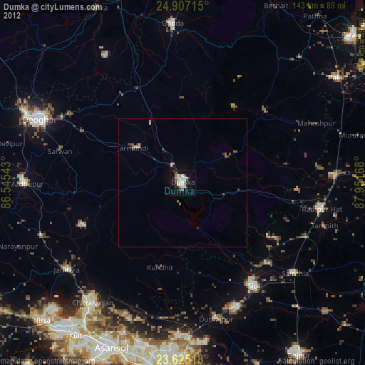
» Earth at Night: Flat Maps 2012, 2016