Dongargarh night lights from space
Night Light of Dongargarh (Chhattisgarh) from space (India) Src. Average luminocity for 10x10km area is 23.244% and for 50x50km: 6.869%.
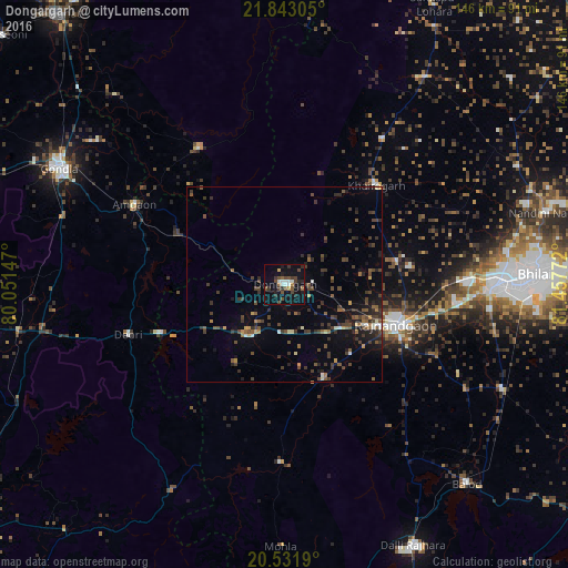
Analysis of Dongargarh night lights 2016
Square area 10x10 km:
 3.57%
3.57%90-99
2.78%80-89
0.2%70-79
1.39%60-69
2.38%50-59
2.98%40-49
8.13%30-39
4.96%20-29
5.16%10-19
26.39%0-9
42.06%Square area 50x50 km:
0.35%90-99
0.44%80-89
0.32%70-79
0.51%60-69
0.56%50-59
1.43%40-49
2.08%30-39
2.63%20-29
1.96%10-19
4.26%0-9
85.46%Clear (daylight) street map image can be seen on geolist.org.
Map coordinates:
21° 50' 35" North, 80° 3' 5.3" East
21° 11' 20.1" North, 80° 45' 16.5" East
20° 31' 54.8" North, 81° 27' 27.8" East
Some cities around Dongargarh sort by population:
• Durg
54.1 km =33.6 mi,  89°
89°
• Rāj-Nāndgaon
30.2 km =18.8 mi,  109°
109°
• Gondiā
65.6 km =40.8 mi,  297°
297°
• Bhānpurī
21.3 km =13.2 mi,  120°
120°
• Khairāgarh
34.6 km =21.5 mi,  42°
42°
• Gandai
64 km =39.8 mi,  33°
33°
• Ambāgarh Chauki
45.9 km =28.5 mi,  181°
181°
• Chhuīkhadān
44.9 km =27.9 mi, 34°
1272396 (p: 35,508)
Sources (retrieved 2019-11-25):
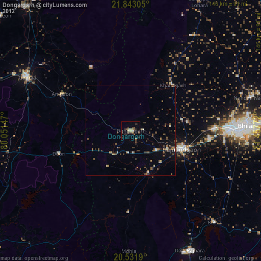
» Earth at Night: Flat Maps 2012, 2016