Gondiā night lights from space
Night Light of Gondiā (Maharashtra) from space (India) Src. Average luminocity for 10x10km area is 47.3883% and for 50x50km: 6.1512%.
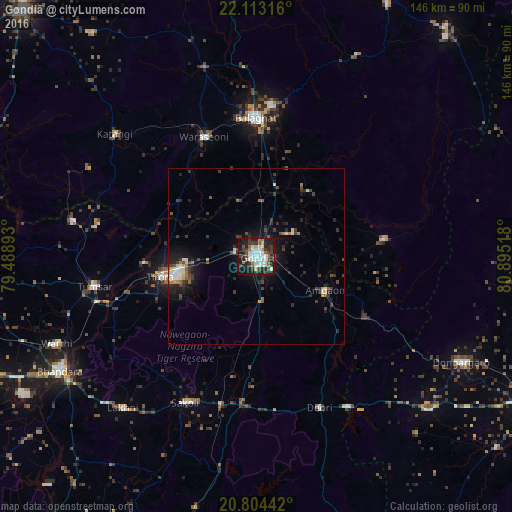
Analysis of Gondiā night lights 2016
Square area 10x10 km:
 12.5%
12.5%90-99
11.36%80-89
1.7%70-79
1.52%60-69
6.82%50-59
4.17%40-49
7.77%30-39
11.36%20-29
12.88%10-19
27.65%0-9
2.27%Square area 50x50 km:
0.93%90-99
0.9%80-89
0.38%70-79
0.25%60-69
0.74%50-59
0.62%40-49
1.12%30-39
1.76%20-29
2.04%10-19
5.12%0-9
86.14%Clear (daylight) street map image can be seen on geolist.org.
Map coordinates:
22° 6' 47.4" North, 79° 29' 20.1" East
21° 27' 36.9" North, 80° 11' 31.4" East
20° 48' 15.9" North, 80° 53' 42.6" East
Some cities around Gondiā sort by population:
• Bālāghāt
39.5 km =24.5 mi,  359°
359°
• Tumsar
48.2 km =30 mi,  259°
259°
• Wārāseonī
36.9 km =22.9 mi,  335°
335°
• Chicholi
50.8 km =31.6 mi,  271°
271°
• Katangi
53 km =32.9 mi,  311°
311°
• Tirodi
54.9 km =34.1 mi,  297°
297°
• Ukwā
63.5 km =39.5 mi,  26°
26°
• Hīrāpur Hamesha
43.3 km =26.9 mi,  284°
284°
1270990 (p: 124,897)
Sources (retrieved 2019-11-25):
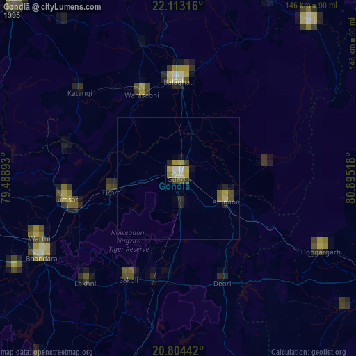
» NASA, Earths city lights 1995
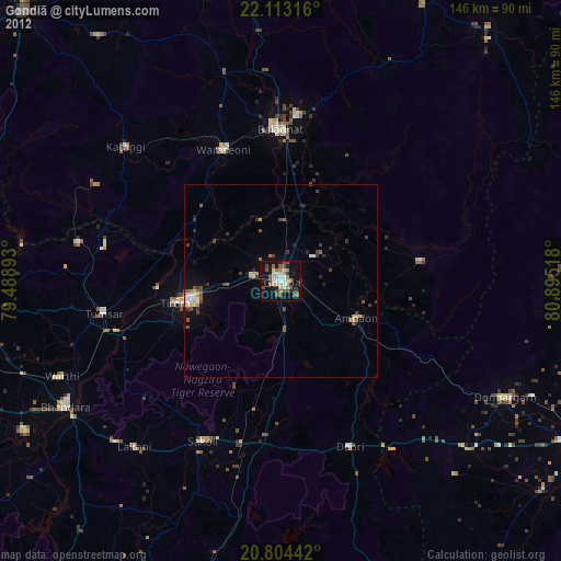
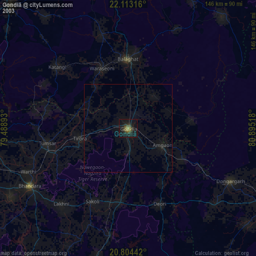
» NASA city lights 2003
» Earth at Night: Flat Maps 2012, 2016