Nandurbar night lights from space
Night Light of Nandurbar (Maharashtra) from space (India) Src. Average luminocity for 10x10km area is 42.7614% and for 50x50km: 7.9093%.
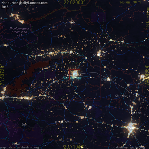
Analysis of Nandurbar night lights 2016
Square area 10x10 km:
 4.36%
4.36%90-99
12.31%80-89
6.25%70-79
2.65%60-69
5.3%50-59
5.87%40-49
6.44%30-39
3.6%20-29
13.07%10-19
37.88%0-9
2.27%Square area 50x50 km:
0.25%90-99
0.96%80-89
0.8%70-79
0.65%60-69
1.19%50-59
1.7%40-49
1.72%30-39
1.79%20-29
2.16%10-19
5.19%0-9
83.6%Clear (daylight) street map image can be seen on geolist.org.
Map coordinates:
22° 1' 12.1" North, 73° 32' 14.6" East
21° 22' 0.2" North, 74° 14' 25.8" East
20° 42' 37.7" North, 74° 56' 37.1" East
Some cities around Nandurbar sort by population:
• Dhūlia
76 km =47.2 mi,  132°
132°
• Shirpur
66.3 km =41.2 mi,  91°
91°
• Shāhāda
31 km =19.3 mi,  50°
50°
• Dondaicha
34.3 km =21.3 mi,  98°
98°
• Taloda
21.8 km =13.5 mi,  352°
352°
• Songadh
73.5 km =45.7 mi,  252°
252°
• Khetia
49.2 km =30.6 mi, 46°
• Pānsemāl
57.6 km =35.8 mi,  55°
55°
1261931 (p: 100,703)
Sources (retrieved 2019-11-25):
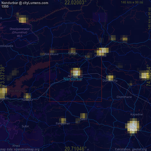
» NASA, Earths city lights 1995
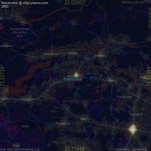
» NASA city lights 2003
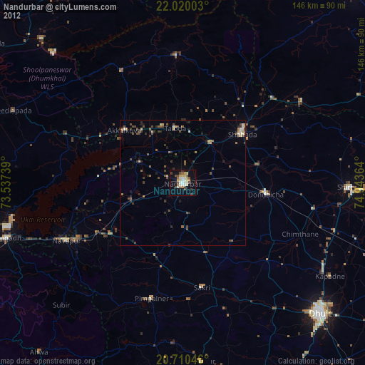
» Earth at Night: Flat Maps 2012, 2016