Diu night lights from space
Night Light of Diu (Daman and Diu) from space (India) Src. Average luminocity for 10x10km area is 20.1364% and for 50x50km: 7.6051%.
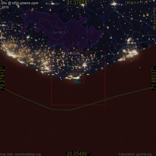
Analysis of Diu night lights 2016
Square area 10x10 km:
 0.57%
0.57%90-99
5.49%80-89
2.84%70-79
1.7%60-69
0.76%50-59
2.46%40-49
2.46%30-39
3.6%20-29
0.95%10-19
31.63%0-9
47.54%Square area 50x50 km:
0.09%90-99
0.55%80-89
0.78%70-79
0.4%60-69
0.96%50-59
1.68%40-49
2.15%30-39
1.84%20-29
1.96%10-19
9.15%0-9
80.45%Clear (daylight) street map image can be seen on geolist.org.
Map coordinates:
21° 22' 13" North, 70° 16' 44.8" East
20° 42' 50.6" North, 70° 58' 56.1" East
20° 3' 17.9" North, 71° 41' 7.3" East
Some cities around Diu sort by population:
• Verāval
67.4 km =41.9 mi,  288°
288°
• Savarkundla
76.9 km =47.8 mi,  25°
25°
• Una
13.4 km =8.3 mi, 25°
• Kodīnar
30.4 km =18.9 mi, 286°
• Rājula
60 km =37.3 mi,  53°
53°
• Dhāri
68.5 km =42.6 mi,  3°
3°
• Vīsāvadar
73.6 km =45.7 mi,  340°
340°
• Delvāda
9.5 km =5.9 mi,  44°
44°
1272502 (p: 23,779)
Sources (retrieved 2019-11-25):
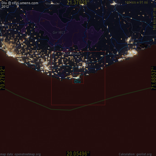
» Earth at Night: Flat Maps 2012, 2016