Verāval night lights from space
Night Light of Verāval (Gujarat) from space (India) Src. Average luminocity for 10x10km area is 46.2679% and for 50x50km: 13.2481%.
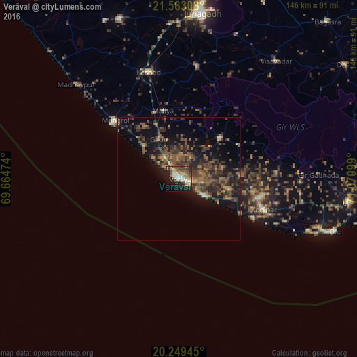
Analysis of Verāval night lights 2016
Square area 10x10 km:
 6.15%
6.15%90-99
10.32%80-89
3.57%70-79
6.75%60-69
8.53%50-59
8.33%40-49
7.54%30-39
5.36%20-29
15.28%10-19
20.63%0-9
7.54%Square area 50x50 km:
0.31%90-99
0.76%80-89
0.47%70-79
1.47%60-69
2.24%50-59
4.02%40-49
4.15%30-39
4.42%20-29
5.63%10-19
10.05%0-9
66.48%Clear (daylight) street map image can be seen on geolist.org.
Map coordinates:
21° 33' 47.1" North, 69° 39' 53.1" East
20° 54' 27.7" North, 70° 22' 4.3" East
20° 14' 58" North, 71° 4' 15.6" East
Some cities around Verāval sort by population:
• Jūnāgadh
68.7 km =42.7 mi,  7°
7°
• Keshod
45.7 km =28.4 mi,  344°
344°
• Māngrol
35.5 km =22.1 mi,  312°
312°
• Kodīnar
37 km =23 mi,  110°
110°
• Diu
67.4 km =41.9 mi, 108°
• Vīsāvadar
62.2 km =38.6 mi,  39°
39°
• Mendarda
46.6 km =29 mi, 9°
• Bilkha
64.1 km =39.8 mi,  22°
22°
1253237 (p: 163,326)
Sources (retrieved 2019-11-25):
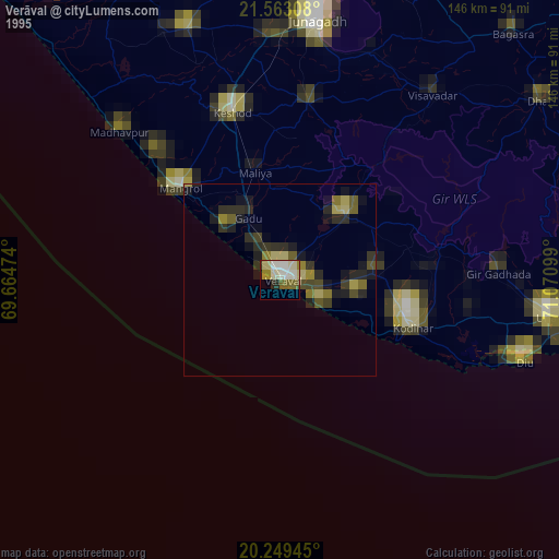
» NASA, Earths city lights 1995
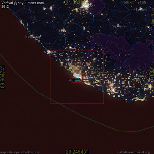
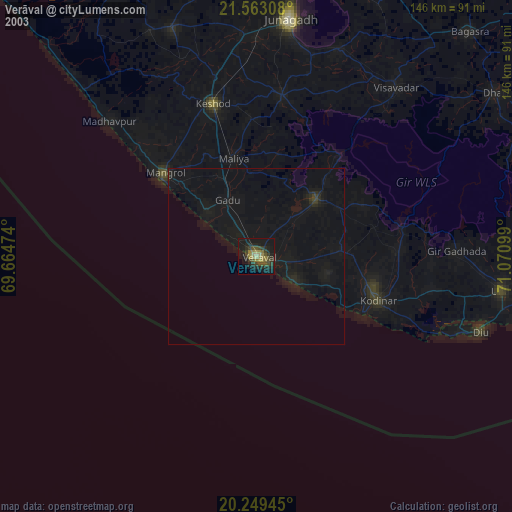
» NASA city lights 2003
» Earth at Night: Flat Maps 2012, 2016