Dhāri night lights from space
Night Light of Dhāri (Gujarat) from space (India) Src. Average luminocity for 10x10km area is 6.1534% and for 50x50km: 1.3744%.
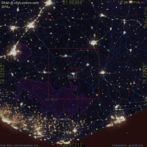
Analysis of Dhāri night lights 2016
Square area 10x10 km:
 0%
0%90-99
0.38%80-89
0.38%70-79
1.33%60-69
1.7%50-59
0.57%40-49
1.33%30-39
2.84%20-29
1.33%10-19
0.95%0-9
89.2%Square area 50x50 km:
0%90-99
0.06%80-89
0.06%70-79
0.15%60-69
0.22%50-59
0.33%40-49
0.46%30-39
0.42%20-29
0.59%10-19
0.42%0-9
97.28%Clear (daylight) street map image can be seen on geolist.org.
Map coordinates:
21° 58' 55.3" North, 70° 19' 24" East
21° 19' 42.8" North, 71° 1' 35.2" East
20° 40' 19.7" North, 71° 43' 46.5" East
Some cities around Dhāri sort by population:
• Amreli
35.7 km =22.2 mi,  32°
32°
• Kundla
29 km =18 mi,  86°
86°
• Savarkundla
28.7 km =17.8 mi, 88°
• Rājula
53.9 km =33.5 mi,  126°
126°
• Bagasra
19.1 km =11.9 mi,  337°
337°
• Vīsāvadar
28.7 km =17.8 mi,  272°
272°
• Chalāla
17.1 km =10.6 mi,  57°
57°
• Bilkha
45.8 km =28.5 mi,  285°
285°
1272861 (p: 29,346)
Sources (retrieved 2019-11-25):
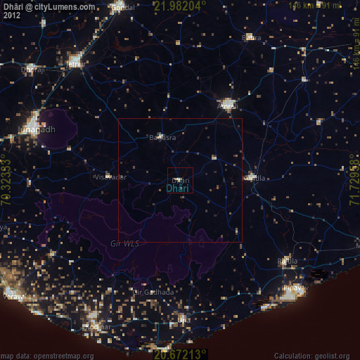
» Earth at Night: Flat Maps 2012, 2016