Una night lights from space
Night Light of Una (Gujarat) from space (India) Src. Average luminocity for 10x10km area is 27.1647% and for 50x50km: 6.9672%.
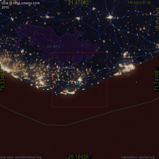
Analysis of Una night lights 2016
Square area 10x10 km:
 0.99%
0.99%90-99
2.18%80-89
3.57%70-79
0.79%60-69
4.76%50-59
5.16%40-49
8.93%30-39
5.56%20-29
6.94%10-19
48.21%0-9
12.9%Square area 50x50 km:
0.09%90-99
0.52%80-89
0.6%70-79
0.43%60-69
0.89%50-59
1.62%40-49
1.9%30-39
1.91%20-29
1.72%10-19
7%0-9
83.31%Clear (daylight) street map image can be seen on geolist.org.
Map coordinates:
21° 28' 44.1" North, 70° 20' 5.4" East
20° 49' 23.4" North, 71° 2' 16.6" East
20° 9' 52.4" North, 71° 44' 27.9" East
Some cities around Una sort by population:
• Kundla
64.1 km =39.8 mi,  25°
25°
• Savarkundla
63.5 km =39.5 mi, 25°
• Kodīnar
35.1 km =21.8 mi,  264°
264°
• Rājula
48.4 km =30.1 mi,  60°
60°
• Dhāri
56.2 km =34.9 mi,  358°
358°
• Diu
13.4 km =8.3 mi,  205°
205°
• Vīsāvadar
64.7 km =40.2 mi,  332°
332°
• Delvāda
5.4 km =3.4 mi,  170°
170°
1253783 (p: 56,545)
Sources (retrieved 2019-11-25):
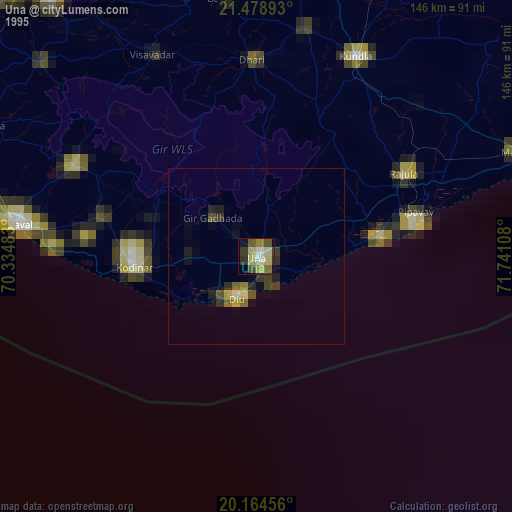
» NASA, Earths city lights 1995
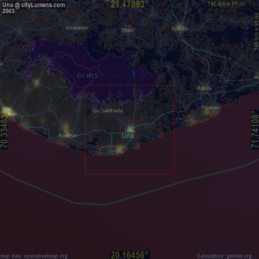
» NASA city lights 2003
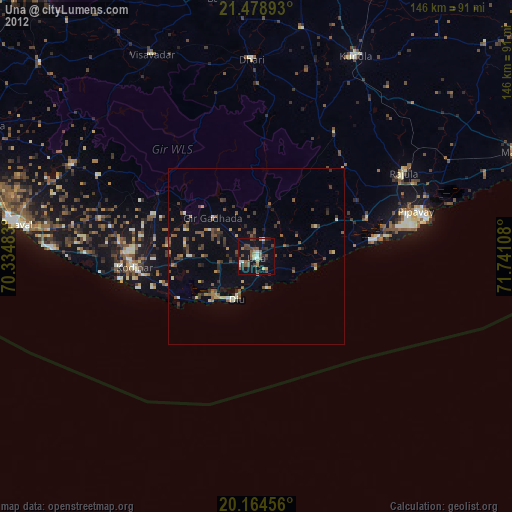
» Earth at Night: Flat Maps 2012, 2016