Rājula night lights from space
Night Light of Rājula (Gujarat) from space (India) Src. Average luminocity for 10x10km area is 15.752% and for 50x50km: 6.2023%.
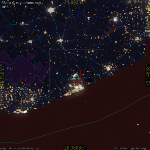
Analysis of Rājula night lights 2016
Square area 10x10 km:
 0.4%
0.4%90-99
2.98%80-89
1.39%70-79
0.79%60-69
3.77%50-59
2.58%40-49
1.19%30-39
4.37%20-29
2.38%10-19
9.13%0-9
71.03%Square area 50x50 km:
0.35%90-99
0.91%80-89
0.7%70-79
0.54%60-69
0.85%50-59
1.07%40-49
1.06%30-39
1.43%20-29
1.97%10-19
5%0-9
86.11%Clear (daylight) street map image can be seen on geolist.org.
Map coordinates:
21° 41' 36" North, 70° 44' 25.2" East
21° 2' 18.7" North, 71° 26' 36.4" East
20° 22' 51.1" North, 72° 8' 47.7" East
Some cities around Rājula sort by population:
• Kundla
36.6 km =22.7 mi,  337°
337°
• Savarkundla
36.2 km =22.5 mi, 336°
• Una
48.4 km =30.1 mi,  240°
240°
• Dhāri
53.9 km =33.5 mi,  306°
306°
• Chalāla
50.4 km =31.3 mi,  325°
325°
• Delvāda
50.6 km =31.4 mi,  234°
234°
• Katpur
36.5 km =22.7 mi,  86°
86°
• Dungarpur
42.6 km =26.5 mi,  49°
49°
1258795 (p: 34,652)
Sources (retrieved 2019-11-25):
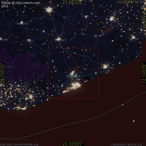
» Earth at Night: Flat Maps 2012, 2016