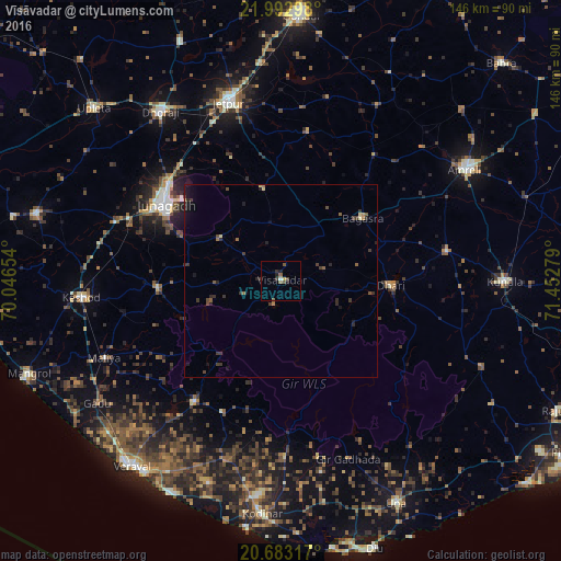
Vīsāvadar night lights from space
Night Light of Vīsāvadar (Gujarat) from space (India) Src. Average luminocity for 10x10km area is 5.428% and for 50x50km: 1.3705%.
Analysis of Vīsāvadar night lights 2016
Square area 10x10 km:
 0%
0%90-99
0.76%80-89
0.76%70-79
0%60-69
0%50-59
2.65%40-49
1.7%30-39
1.33%20-29
0.76%10-19
1.89%0-9
90.15%Square area 50x50 km:
0%90-99
0.05%80-89
0.19%70-79
0.06%60-69
0.11%50-59
0.37%40-49
0.33%30-39
0.72%20-29
0.47%10-19
0.7%0-9
97.01%Clear (daylight) street map image can be seen on geolist.org.
Map coordinates:
21° 59' 34.7" North, 70° 2' 47.5" East
21° 20' 22.3" North, 70° 44' 58.8" East
20° 40' 59.4" North, 71° 27' 10" East
Some cities around Vīsāvadar sort by population:
• Jūnāgadh
36.1 km =22.4 mi,  303°
303°
• Jetpur
48 km =29.8 mi,  344°
344°
• Bagasra
26.9 km =16.7 mi,  52°
52°
• Dhāri
28.7 km =17.8 mi,  92°
92°
• Mendarda
32.1 km =19.9 mi,  266°
266°
• Chalāla
43.9 km =27.3 mi,  79°
79°
• Jetalsar
44.8 km =27.8 mi, 336°
• Bilkha
19.1 km =11.9 mi,  306°
306°
1253105 (p: 18,382)
Sources (retrieved 2019-11-25):
» Earth at Night: Flat Maps 2012, 2016