Diphu night lights from space
Night Light of Diphu (Assam) from space (India) Src. Average luminocity for 10x10km area is 19.4716% and for 50x50km: 1.5853%.
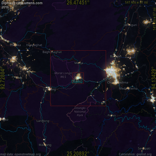
Analysis of Diphu night lights 2016
Square area 10x10 km:
 0%
0%90-99
3.22%80-89
4.36%70-79
1.33%60-69
4.73%50-59
2.46%40-49
2.46%30-39
3.22%20-29
3.98%10-19
8.14%0-9
66.1%Square area 50x50 km:
0%90-99
0.15%80-89
0.22%70-79
0.1%60-69
0.22%50-59
0.19%40-49
0.33%30-39
0.32%20-29
0.58%10-19
1.29%0-9
96.59%Clear (daylight) street map image can be seen on geolist.org.
Map coordinates:
26° 28' 28.2" North, 92° 43' 40.9" East
25° 50' 36.3" North, 93° 25' 52.2" East
25° 12' 32.1" North, 94° 8' 3.4" East
Some cities around Diphu sort by population:
• Dimāpur
30 km =18.6 mi,  75°
75°
• Kohima
70.6 km =43.9 mi,  105°
105°
• Hojāi
60.2 km =37.4 mi,  287°
287°
• Lumding Railway Colony
28.2 km =17.5 mi,  248°
248°
• Bokajān
40.1 km =24.9 mi,  60°
60°
• Maibong
67.1 km =41.7 mi,  205°
205°
• Barpathār
67.2 km =41.8 mi,  42°
42°
• Mahur
80 km =49.7 mi,  203°
203°
1272525 (p: 57,097)
Sources (retrieved 2019-11-25):
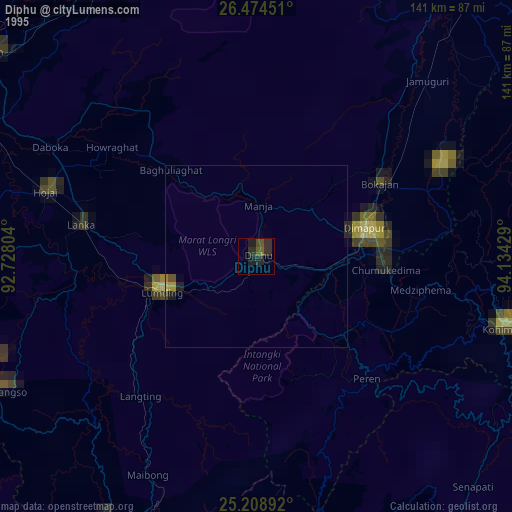
» NASA, Earths city lights 1995
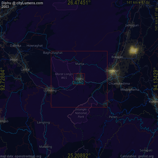
» NASA city lights 2003
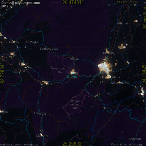
» Earth at Night: Flat Maps 2012, 2016