Maibong night lights from space
Night Light of Maibong (Assam) from space (India) Src. Average luminocity for 10x10km area is 3.5873% and for 50x50km: 0.3978%.
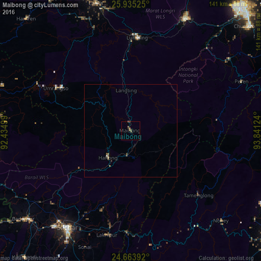
Analysis of Maibong night lights 2016
Square area 10x10 km:
 0%
0%90-99
0.4%80-89
0%70-79
0%60-69
2.18%50-59
1.39%40-49
0.79%30-39
0%20-29
0.79%10-19
0%0-9
94.44%Square area 50x50 km:
0%90-99
0.06%80-89
0.03%70-79
0.02%60-69
0.09%50-59
0.17%40-49
0.12%30-39
0.04%20-29
0.05%10-19
0.06%0-9
99.35%Clear (daylight) street map image can be seen on geolist.org.
Map coordinates:
25° 56' 6.9" North, 92° 26' 6" East
25° 18' 4.5" North, 93° 8' 17.2" East
24° 39' 50.1" North, 93° 50' 28.5" East
Some cities around Maibong sort by population:
• Silchar
62.9 km =39.1 mi,  213°
213°
• Diphu
67.1 km =41.7 mi,  25°
25°
• Hāflong
19.4 km =12.1 mi,  218°
218°
• Hojāi
83 km =51.6 mi,  340°
340°
• Lumding Railway Colony
49.9 km =31 mi,  3°
3°
• Lakhipur
58 km =36 mi,  192°
192°
• Badarpur
72.8 km =45.2 mi,  228°
228°
• Mahur
13.4 km =8.3 mi, 190°
1264322 (p: 8,364)
Sources (retrieved 2019-11-25):
» Earth at Night: Flat Maps 2012, 2016