Dhār night lights from space
Night Light of Dhār (Madhya Pradesh) from space (India) Src. Average luminocity for 10x10km area is 29.7064% and for 50x50km: 5.9056%.
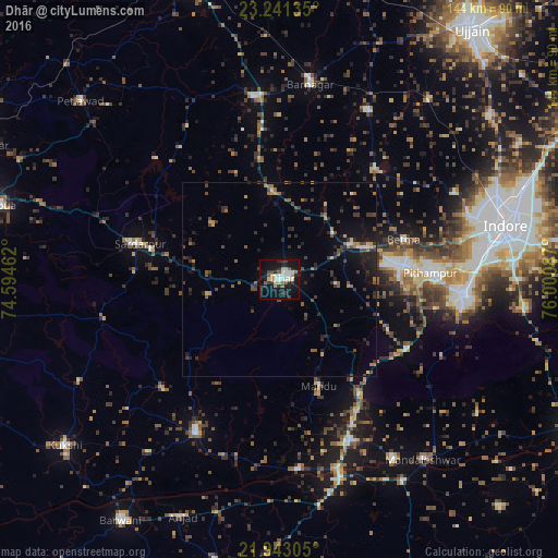
Analysis of Dhār night lights 2016
Square area 10x10 km:
 3.03%
3.03%90-99
7.01%80-89
3.79%70-79
3.79%60-69
0.76%50-59
3.79%40-49
3.41%30-39
5.87%20-29
8.14%10-19
33.9%0-9
26.52%Square area 50x50 km:
0.14%90-99
0.53%80-89
0.31%70-79
0.7%60-69
0.76%50-59
0.91%40-49
1.47%30-39
1.77%20-29
2.05%10-19
4.29%0-9
87.08%Clear (daylight) street map image can be seen on geolist.org.
Map coordinates:
23° 14' 28.9" North, 74° 35' 40.6" East
22° 35' 37.4" North, 75° 17' 51.9" East
21° 56' 35" North, 76° 0' 3.1" East
Some cities around Dhār sort by population:
• Pithampur
40.9 km =25.4 mi,  88°
88°
• Dhāmnod
46.3 km =28.8 mi,  157°
157°
• Manāwar
45.2 km =28.1 mi,  208°
208°
• Badnāwar
48.1 km =29.9 mi,  352°
352°
• Rājgarh
37.4 km =23.2 mi,  284°
284°
• Depālpur
38 km =23.6 mi,  41°
41°
• Betma
34.1 km =21.2 mi,  72°
72°
• Mānpur
37.8 km =23.5 mi,  118°
118°
1272892 (p: 82,438)
Sources (retrieved 2019-11-25):
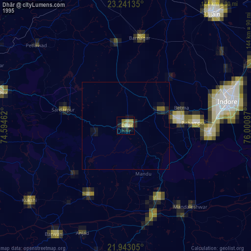
» NASA, Earths city lights 1995
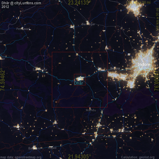
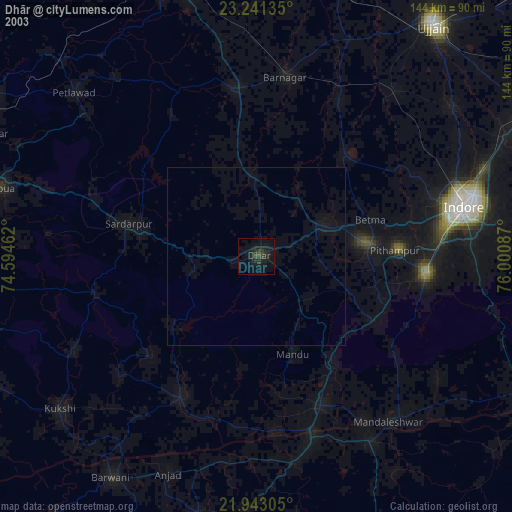
» NASA city lights 2003
» Earth at Night: Flat Maps 2012, 2016