Dhāmnod night lights from space
Night Light of Dhāmnod (Madhya Pradesh) from space (India) Src. Average luminocity for 10x10km area is 33.8352% and for 50x50km: 9.2522%.
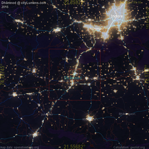
Analysis of Dhāmnod night lights 2016
Square area 10x10 km:
 0.95%
0.95%90-99
5.87%80-89
3.22%70-79
3.03%60-69
4.17%50-59
8.9%40-49
1.7%30-39
9.09%20-29
14.39%10-19
47.16%0-9
1.52%Square area 50x50 km:
0.21%90-99
0.97%80-89
0.81%70-79
1.16%60-69
1.33%50-59
1.84%40-49
1.63%30-39
1.97%20-29
2.36%10-19
8.55%0-9
79.17%Clear (daylight) street map image can be seen on geolist.org.
Map coordinates:
22° 51' 31.4" North, 74° 46' 2.8" East
22° 12' 33.4" North, 75° 28' 14.1" East
21° 33' 24.6" North, 76° 10' 25.3" East
Some cities around Dhāmnod sort by population:
• Khargone
45.4 km =28.2 mi,  161°
161°
• Manāwar
39.4 km =24.5 mi,  274°
274°
• Maheshwar
12.6 km =7.8 mi,  107°
107°
• Kasrāwad
17.1 km =10.6 mi,  122°
122°
• Rajpur
45.6 km =28.3 mi,  229°
229°
• Dharampuri
14.6 km =9.1 mi,  242°
242°
• Māndleshwar
19.8 km =12.3 mi,  100°
100°
• Mānpur
29.2 km =18.1 mi,  32°
32°
1273006 (p: 29,681)
Sources (retrieved 2019-11-25):
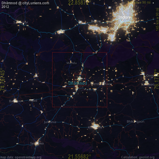
» Earth at Night: Flat Maps 2012, 2016