Deogarh night lights from space
Night Light of Deogarh (Odisha) from space (India) Src. Average luminocity for 10x10km area is 14.7424% and for 50x50km: 0.827%.
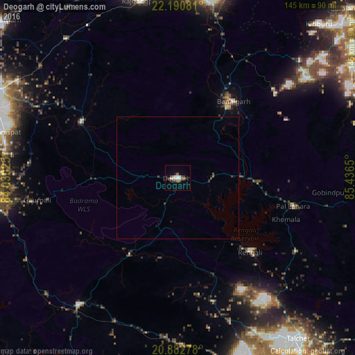
Analysis of Deogarh night lights 2016
Square area 10x10 km:
 2.27%
2.27%90-99
3.79%80-89
0.19%70-79
0.57%60-69
0.76%50-59
3.03%40-49
3.03%30-39
1.52%20-29
2.46%10-19
2.46%0-9
79.92%Square area 50x50 km:
0.1%90-99
0.16%80-89
0.01%70-79
0.02%60-69
0.03%50-59
0.18%40-49
0.23%30-39
0.15%20-29
0.17%10-19
0.23%0-9
98.71%Clear (daylight) street map image can be seen on geolist.org.
Map coordinates:
22° 11' 26.9" North, 84° 1' 48.9" East
21° 32' 17.8" North, 84° 44' 0.1" East
20° 52' 58" North, 85° 26' 11.4" East
Some cities around Deogarh sort by population:
• Raurkela
77.5 km =48.2 mi,  10°
10°
• Sambalpur
78.8 km =49 mi,  264°
264°
• Jharsuguda
82.9 km =51.5 mi,  295°
295°
• Angul
86.4 km =53.7 mi,  153°
153°
• Tālcher
83.5 km =51.9 mi,  141°
141°
• Kuchinda
45.9 km =28.5 mi, 299°
• Bānposh
79.4 km =49.3 mi, 5°
• Rengāli
71.3 km =44.3 mi,  279°
279°
1273246 (p: 21,134)
Sources (retrieved 2019-11-25):
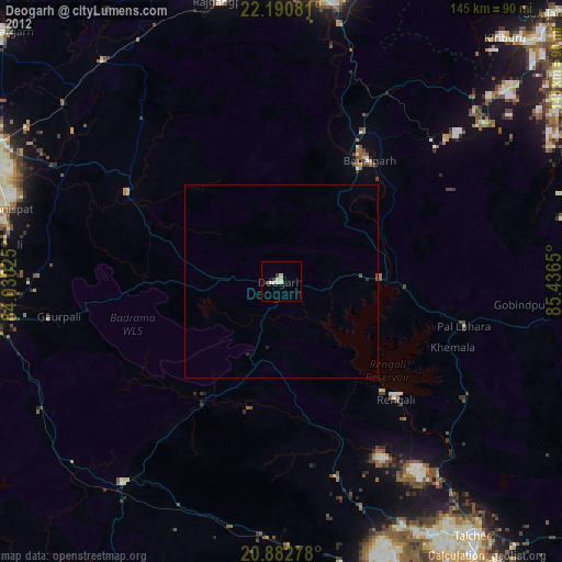
» Earth at Night: Flat Maps 2012, 2016