Sambalpur night lights from space
Night Light of Sambalpur (Odisha) from space (India) Src. Average luminocity for 10x10km area is 75.1345% and for 50x50km: 17.8249%.
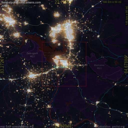
Analysis of Sambalpur night lights 2016
Square area 10x10 km:
 17.99%
90-99
22.54%80-89
10.42%70-79
11.17%60-69
6.63%50-59
12.31%40-49
8.33%30-39
6.44%20-29
4.17%10-19
0%0-9
0%Square area 50x50 km:
1.81%90-99
2.41%80-89
1.45%70-79
1.65%60-69
1.76%50-59
3.5%40-49
4.29%30-39
4.39%20-29
6.57%10-19
14.32%0-9
57.85%Clear (daylight) street map image can be seen on geolist.org.
Map coordinates:
22° 7' 5.3" North, 83° 16' 21.4" East
21° 27' 55" North, 83° 58' 32.6" East
20° 48' 34.1" North, 84° 40' 43.9" East
Some cities around Sambalpur sort by population:
• Jharsuguda
43.5 km =27 mi,  4°
4°
• Brājarājnagar
39.5 km =24.5 mi,  351°
351°
• Bargarh
39.7 km =24.7 mi,  248°
248°
• Burla
11.8 km =7.3 mi,  294°
294°
• Hīrākud
12.6 km =7.8 mi,  301°
301°
• Barpāli
50.6 km =31.4 mi,  232°
232°
• Kuchinda
49.4 km =30.7 mi,  51°
51°
• Rengāli
21.6 km =13.4 mi,  21°
21°
1257542 (p: 162,887)
Sources (retrieved 2019-11-25):
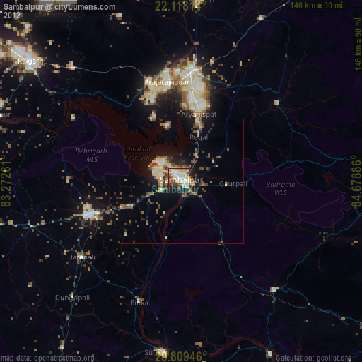
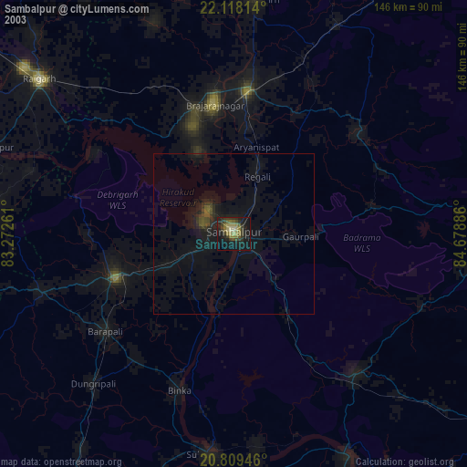
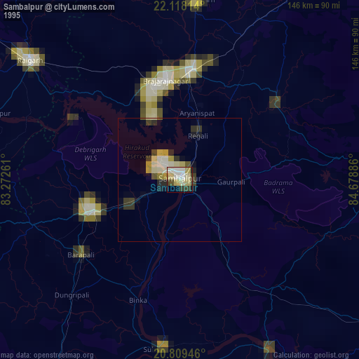
» NASA, Earths city lights 1995
» NASA city lights 2003
» Earth at Night: Flat Maps 2012, 2016