Angul night lights from space
Night Light of Angul (Odisha) from space (India) Src. Average luminocity for 10x10km area is 79.6488% and for 50x50km: 34.8685%.
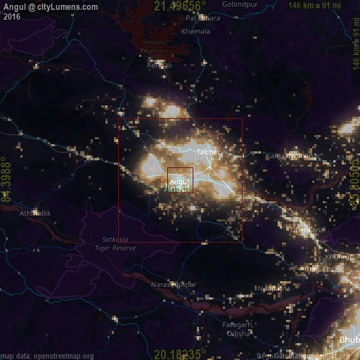
Analysis of Angul night lights 2016
Square area 10x10 km:
 12.1%
12.1%90-99
26.79%80-89
13.49%70-79
15.48%60-69
18.25%50-59
10.32%40-49
0.6%30-39
2.18%20-29
0.79%10-19
0%0-9
0%Square area 50x50 km:
4.09%90-99
8.56%80-89
3.89%70-79
4.41%60-69
5.24%50-59
6.21%40-49
6.49%30-39
6.31%20-29
8.35%10-19
9.35%0-9
37.09%Clear (daylight) street map image can be seen on geolist.org.
Map coordinates:
21° 29' 47.6" North, 84° 23' 55.7" East
20° 50' 27.2" North, 85° 6' 6.9" East
20° 10' 56.5" North, 85° 48' 18.2" East
Some cities around Angul sort by population:
• Dhenkānāl
55.4 km =34.4 mi,  111°
111°
• Tālcher
18.2 km =11.3 mi,  48°
48°
• Bālugaon
73.7 km =45.8 mi,  179°
179°
• Āthagarh
65.5 km =40.7 mi,  123°
123°
• Bānki
67.9 km =42.2 mi,  139°
139°
• Kāmākhyānagar
47.2 km =29.3 mi,  77°
77°
• Kaintragarh
60.4 km =37.5 mi,  257°
257°
• Kantilo
54.1 km =33.6 mi,  170°
170°
1278593 (p: 44,386)
Sources (retrieved 2019-11-25):
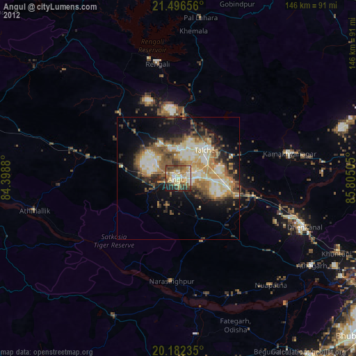
» Earth at Night: Flat Maps 2012, 2016