Tālcher night lights from space
Night Light of Tālcher (Odisha) from space (India) Src. Average luminocity for 10x10km area is 72.8234% and for 50x50km: 35.9508%.
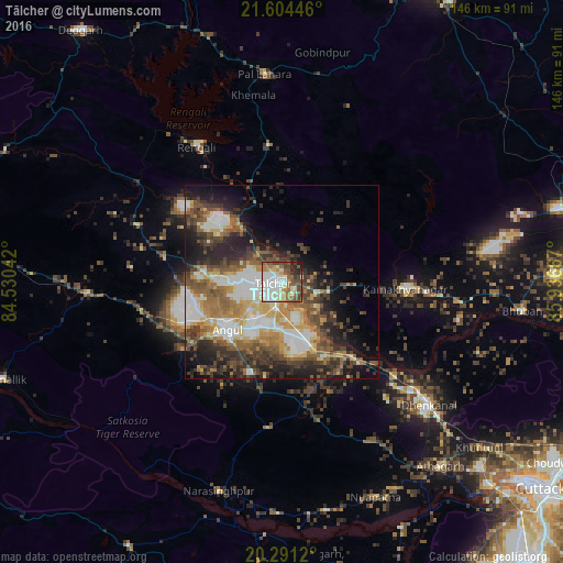
Analysis of Tālcher night lights 2016
Square area 10x10 km:
 13.89%
90-99
26.98%80-89
9.52%70-79
5.16%60-69
10.52%50-59
10.52%40-49
12.1%30-39
4.37%20-29
5.95%10-19
0.99%0-9
0%Square area 50x50 km:
4.04%90-99
8.92%80-89
3.97%70-79
4.56%60-69
5.58%50-59
6.82%40-49
6.44%30-39
6.83%20-29
8.35%10-19
10.32%0-9
34.18%Clear (daylight) street map image can be seen on geolist.org.
Map coordinates:
21° 36' 16.1" North, 84° 31' 49.5" East
20° 56' 57.4" North, 85° 14' 0.7" East
20° 17' 28.3" North, 85° 56' 12" East
Some cities around Tālcher sort by population:
• Dhenkānāl
49.8 km =30.9 mi,  130°
130°
• Angul
18.2 km =11.3 mi,  228°
228°
• Bhuban
62.7 km =39 mi,  96°
96°
• Āthagarh
63 km =39.1 mi,  139°
139°
• Bānki
70.5 km =43.8 mi,  154°
154°
• Kāmākhyānagar
32.4 km =20.1 mi,  93°
93°
• Kaintragarh
76.9 km =47.8 mi,  250°
250°
• Kantilo
65.5 km =40.7 mi,  183°
183°
1255143 (p: 38,436)
Sources (retrieved 2019-11-25):
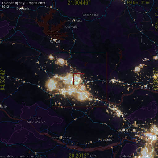
» Earth at Night: Flat Maps 2012, 2016