Dayapar night lights from space
Night Light of Dayapar (Gujarat) from space (India) Src. Average luminocity for 10x10km area is 0.5655% and for 50x50km: 2.7569%.
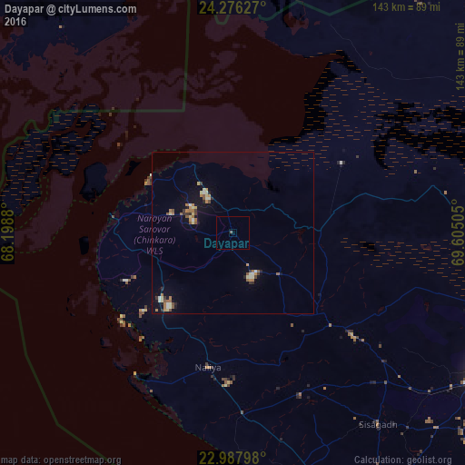
Analysis of Dayapar night lights 2016
Square area 10x10 km:
 0%
0%90-99
0%80-89
0%70-79
0%60-69
0%50-59
0.79%40-49
0%30-39
0%20-29
0%10-19
0%0-9
99.21%Square area 50x50 km:
0.1%90-99
0.41%80-89
0.46%70-79
0.27%60-69
0.6%50-59
0.47%40-49
0.24%30-39
0.33%20-29
0.34%10-19
1.31%0-9
95.46%Clear (daylight) street map image can be seen on geolist.org.
Map coordinates:
24° 16' 34.6" North, 68° 11' 55.7" East
23° 38' 1.4" North, 68° 54' 6.9" East
22° 59' 16.7" North, 69° 36' 18.2" East
Some cities around Dayapar sort by population:
• Bhuj
88.9 km =55.2 mi,  118°
118°
• Badin, PK
113.9 km =70.8 mi,  356°
356°
• Māndvi
100.2 km =62.3 mi,  152°
152°
• Diplo, PK
115.5 km =71.8 mi,  36°
36°
• Naliya
42.2 km =26.2 mi,  190°
190°
• Jati, PK
102.9 km =63.9 mi,  321°
321°
• Roha
61.5 km =38.2 mi,  142°
142°
• Kadhan, PK
94.5 km =58.7 mi,  5°
5°
8593959 (p: 12,000)
Sources (retrieved 2019-11-25):
» Earth at Night: Flat Maps 2012, 2016