Kadhan night lights from space
Night Light of Kadhan (Sindh) from space (Pakistan) Src. Average luminocity for 10x10km area is 1.0516% and for 50x50km: 1.1268%.
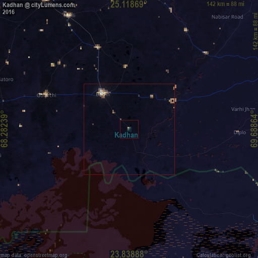
Analysis of Kadhan night lights 2016
Square area 10x10 km:
 0%
0%90-99
0%80-89
0%70-79
0.4%60-69
0.4%50-59
0%40-49
0%30-39
0.6%20-29
0.99%10-19
0%0-9
97.62%Square area 50x50 km:
0.01%90-99
0.1%80-89
0.14%70-79
0.06%60-69
0.43%50-59
0.14%40-49
0.28%30-39
0.34%20-29
0.16%10-19
0.07%0-9
98.27%Clear (daylight) street map image can be seen on geolist.org.
Map coordinates:
25° 7' 7.3" North, 68° 16' 56.6" East
24° 28' 49.5" North, 68° 59' 7.8" East
23° 50' 20" North, 69° 41' 19.1" East
Some cities around Kadhan sort by population:
• Badin
24.6 km =15.3 mi,  322°
322°
• Matli
70.8 km =44 mi,  331°
331°
• Naukot
59.4 km =36.9 mi,  45°
45°
• Talhar
48.1 km =29.9 mi,  338°
338°
• Tando Bago
34.4 km =21.4 mi,  356°
356°
• Diplo
60.3 km =37.5 mi,  91°
91°
• Rajo Khanani
57.5 km =35.7 mi,  346°
346°
• Kario Ghanwar
53 km =32.9 mi,  313°
313°
1175506 (p: 6,854)
Sources (retrieved 2019-11-25):
» Earth at Night: Flat Maps 2012, 2016